Medium airport · New Zealand
Manapouri AirportNZMO
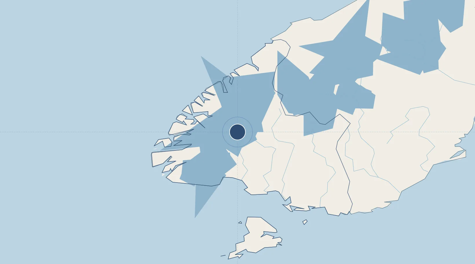
-45.5331°, 167.6500°
3,547 ft
Longest runway
1
Runways
687 ft
Elevation
Runway & Layout

Radio Frequencies
CTAF
119.1 MHz
AFIS
128 MHz
QUEENSTOWN FIS
Navaids
MO NDB-DME Manapouri 0.35 MHz
Runways · 1
| Runway | Dimensions | Surface | True heading | Lit |
|---|---|---|---|---|
| 08/26 | 3,547 × 98ft | Asphalt | 102° | — |
Airport Specifications
IATA code
TEU
ICAO code
NZMO
Airport class
Medium airport
Scheduled service
No
Runway surface
Asphalt
Location
Nearby Logistics Neighbours
Airports
- 1Queenstown Airport103 km
- 2Invercargill Airport110 km
- 3Alexandra Aerodrome139 km
- 4Wanaka Airport154 km
- 5Dunedin International Airport203 km
Cities
- 1Deep Cove40 km
- 2Milford Sound99 km
- 3Makarewa104 km
- 4Edendale124 km
- 5Tiwai Point-Bluff Port129 km
Ports
- 1Bluff Harbor130 km
- 2Otago Harbor234 km
- 3Timaru310 km
- 4Greymouth447 km
- 5Port Lyttelton455 km
Trade Zones
- 1Hicks Bay Area Special Economic Zone1239 km
- 2Latrobe Valley Economic Growth Zone1930 km
- 3Rotuma-Kadavu Tax-Free Region3204 km
- 4Kalabu Tax Free Zone3212 km
- 5Nausori-Ba Tax-Free Region3220 km
DatabookThe Record of Consolidated Knowledge
New Zealand beyond logistics?