Seaport · New Zealand
TimaruNZTIU
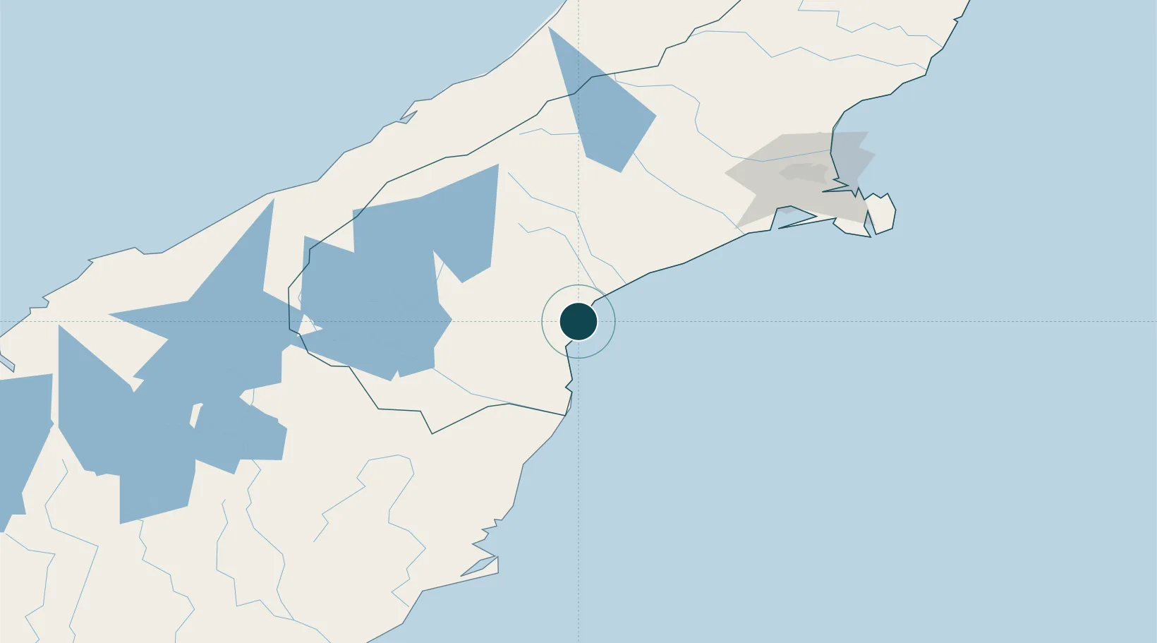
-44.4000°, 171.2500°
9.4 m
Channel depth
2
Container terminals
41.0
Port liner connectivity
Channel & Berth Profile
Pilotage, Tugs & Services
Pilotage compulsoryYES
Pilotage availableYES
Pilotage advisableYES
Tug assistanceYES
Shore powerYES
Potable waterYES
Diesel bunkersYES
MedicalYES
Garbage disposalYES
Facilities & Capabilities
ContainerYES
Ro-RoNO
Liquid bulkYES
Dry bulkYES
Oil terminal—
Break bulkYES
Dry dock—
RepairsNO
BunkeringYES
Rail linkYES
Dangerous cargo—
ISPS security—
Harbour Specifications
Harbour size
Small
Harbour type
Coastal (Breakwater)
Shelter
Excellent
Water body
South Pacific Ocean
Tidal range
1 m
Overhead limit
No
Pilotage
Yes
Liner Connectivity
41
PLSCI
Port Liner Shipping Connectivity Index for Timaru, as published by UNCTAD for the latest available quarter. Higher values indicate stronger scheduled liner-shipping integration.
Shown relative to the highest per-port PLSCI in the dataset (1,657.9).
Location
Container Terminals · 2
PRIMEPORT TIMARU
PTIM PRIMEPORT TIMARU LTD.
TIMARU CONTAINER TERMINAL
TCTL PORT OF TAURANGA LTD.
Nearby Logistics Neighbours
Ports
- 1Port Lyttelton147 km
- 2Akaroa152 km
- 3Otago Harbor165 km
- 4Greymouth219 km
- 5Westport296 km
Cities
- 1Pareora12 km
- 2Glenavy59 km
- 3Pukeuri Junction73 km
- 4Otematata82 km
- 5Rolleston128 km
Airports
- 1Timaru Airport11 km
- 2Oamaru Airport65 km
- 3Pukaki Airport92 km
- 4Glentanner Airport105 km
- 5Mount Cook Airport114 km
Trade Zones
- 1Hicks Bay Area Special Economic Zone951 km
- 2Latrobe Valley Economic Growth Zone2177 km
- 3Rotuma-Kadavu Tax-Free Region2995 km
- 4Kalabu Tax Free Zone3002 km
- 5Nausori-Ba Tax-Free Region3010 km
DatabookThe Record of Consolidated Knowledge
New Zealand beyond logistics?