Medium airport · New Zealand
Dunedin International AirportNZDN
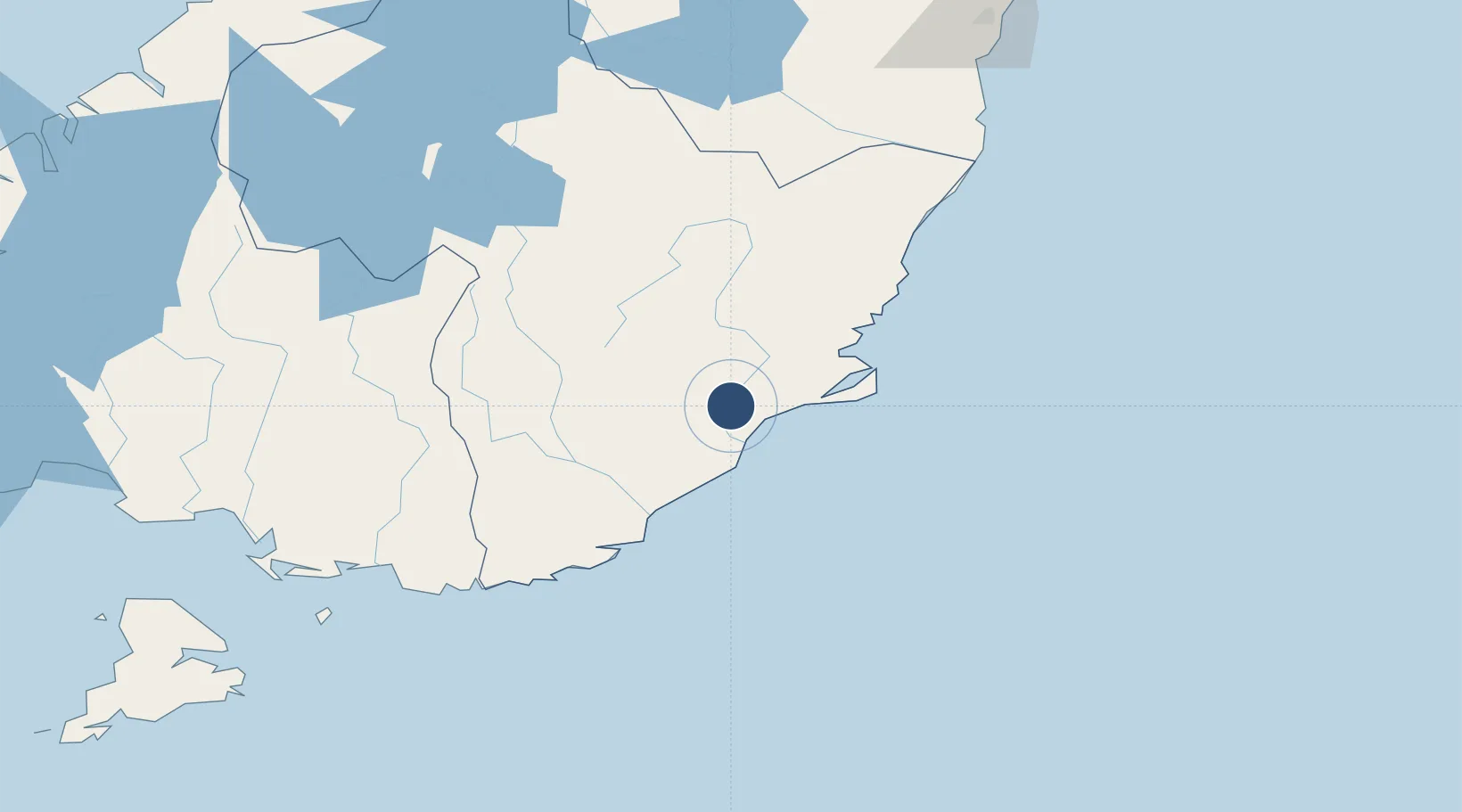
-45.9290°, 170.1978°
6,234 ft
Longest runway
1
Runways
4 ft
Elevation
Runway & Layout

Radio Frequencies
ATIS
126.45 MHz
TWR
120.7 MHz
APP
120.7 MHz
CTAF
120.7 MHz
AFIS
129.3 MHz
CHRISTCHURCH CON
Navaids
BE NDB Berridale 394 kHz
HL NDB-DME Henley 0.38 MHz
MI NDB Mosgiel 358 kHz
SW VOR-DME Swampy 112.70 MHz
SW NDB Swampy 338 kHz
Runways · 1
| Runway | Dimensions | Surface | True heading | Lit |
|---|---|---|---|---|
| 03/21 | 6,234 × 150ft | Asphalt | 056° | ✓ |
Airport Specifications
IATA code
DUD
ICAO code
NZDN
Airport class
Medium airport
Scheduled service
Yes
Runway surface
Asphalt
Served city
Dunedin
Location
Nearby Logistics Neighbours
Airports
- 1Alexandra Aerodrome103 km
- 2Oamaru Airport127 km
- 3Queenstown Airport152 km
- 4Wanaka Airport153 km
- 5Invercargill Airport155 km
Cities
- 1Mosgiel14 km
- 2Dunedin25 km
- 3Milton28 km
- 4Ravensbourne28 km
- 5Port Chalmers33 km
Ports
- 1Otago Harbor36 km
- 2Bluff Harbor162 km
- 3Timaru189 km
- 4Akaroa322 km
- 5Port Lyttelton327 km
Trade Zones
- 1Hicks Bay Area Special Economic Zone1135 km
- 2Latrobe Valley Economic Growth Zone2133 km
- 3Rotuma-Kadavu Tax-Free Region3181 km
- 4Kalabu Tax Free Zone3188 km
- 5Nausori-Ba Tax-Free Region3196 km
DatabookThe Record of Consolidated Knowledge
New Zealand beyond logistics?