Large airport · New Zealand
Queenstown AirportNZQN
-45.0192°, 168.7464°
6,204 ft
Longest runway
2
Runways
1,171 ft
Elevation
Runway & Layout

Radio Frequencies
ATIS
126.4 MHz
Queenstown ATIS
TWR
118.1 MHz
Queenstown Tower
APP
125.75 MHz
Queenstown Approach
CTAF
118.1 MHz
AFIS
128 MHz
FIS
DLV
121.9 MHz
Queenstown Delivery
Navaids
SH VOR-DME Slope Hill 113.60 MHz
Runways · 2
| Runway | Dimensions | Surface | True heading | Lit |
|---|---|---|---|---|
| 05/23 | 6,204 × 148ft | Asphalt | 076° | ✓ |
| 14/32 | 2,920 × 33ft | BITUM | 165° | — |
Airport Specifications
IATA code
ZQN
ICAO code
NZQN
Airport class
Large airport
Scheduled service
Yes
Runway surface
Asphalt
Served city
Queenstown
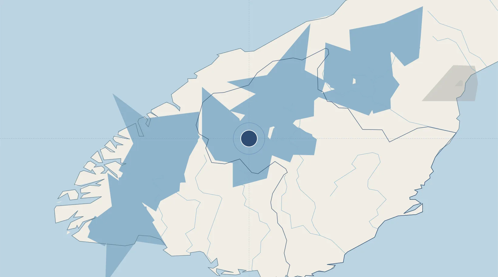
Location
Nearby Logistics Neighbours
Airports
- 1Wanaka Airport51 km
- 2Alexandra Aerodrome53 km
- 3Manapouri Airport103 km
- 4Pukaki Airport139 km
- 5Dunedin International Airport152 km
Cities
- 1Milford Sound76 km
- 2Otematata128 km
- 3Deep Cove134 km
- 4Edendale144 km
- 5Makarewa149 km
Ports
- 1Otago Harbor172 km
- 2Bluff Harbor179 km
- 3Timaru210 km
- 4Greymouth349 km
- 5Port Lyttelton353 km
Trade Zones
- 1Hicks Bay Area Special Economic Zone1137 km
- 2Latrobe Valley Economic Growth Zone1997 km
- 3Rotuma-Kadavu Tax-Free Region3121 km
- 4Kalabu Tax Free Zone3128 km
- 5Nausori-Ba Tax-Free Region3136 km
DatabookThe Record of Consolidated Knowledge
New Zealand beyond logistics?