UN/LOCODE hub · New Zealand
NZTWI

Tiwai Point-Bluff Port

-46.5833°, 168.3500°
2
Transport functions

Transport Functions

Port
Road
UN/LOCODE

Hub Profile

Region
STL
GeoNames

Location

Location of NZTWI
Natural Earth 10m (public domain) · STL · NZTWI · -46.58, 168.35GoogleOSMYandex

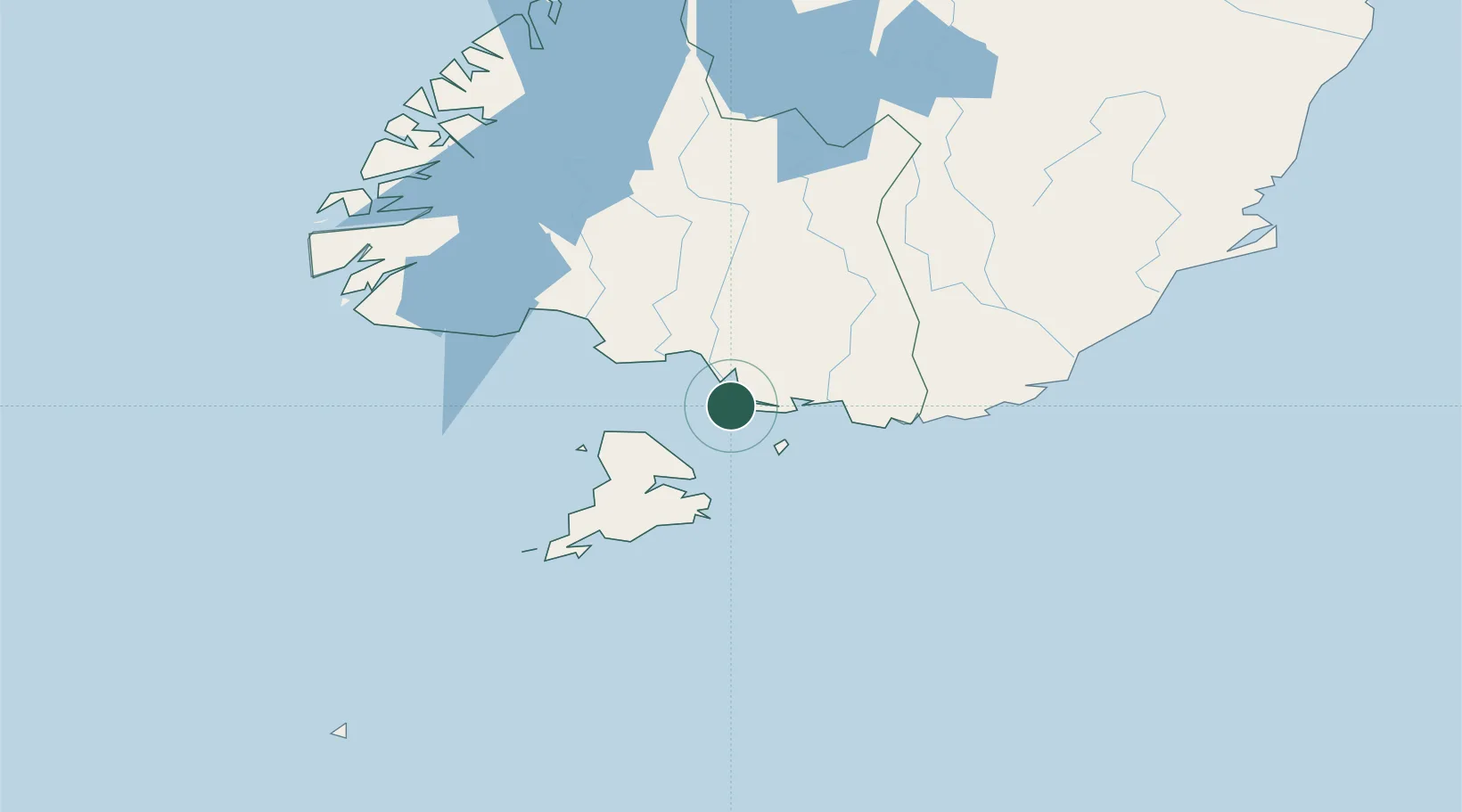
Nearby Logistics Neighbours

Cities
  1. 1Bluff2 km
  2. 2Makarewa28 km
  3. 3Edendale45 km
  4. 4Milton135 km
  5. 5Deep Cove156 km
Nearest neighbours — logibook spatial index (haversine) over the source coordinates
Ports
  1. 1Bluff Harbor2 km
  2. 2Otago Harbor195 km
  3. 3Timaru332 km
  4. 4Akaroa476 km
  5. 5Port Lyttelton477 km
Nearest neighbours — logibook spatial index (haversine) over the source coordinates
Airports
  1. 1Invercargill Airport19 km
  2. 2Manapouri Airport129 km
  3. 3Dunedin International Airport160 km
  4. 4Alexandra Aerodrome172 km
  5. 5Queenstown Airport177 km
Nearest neighbours — logibook spatial index (haversine) over the source coordinates
Trade Zones
  1. 1Hicks Bay Area Special Economic Zone1283 km
  2. 2Latrobe Valley Economic Growth Zone2018 km
  3. 3Rotuma-Kadavu Tax-Free Region3295 km
  4. 4Kalabu Tax Free Zone3302 km
  5. 5Nausori-Ba Tax-Free Region3310 km
Nearest neighbours — logibook spatial index (haversine) over the source coordinates
DatabookThe Record of Consolidated Knowledge
New Zealand beyond logistics?
Browse databook

All Sources

LocationsUN/LOCODE
UN/LOCODE — free
Portsthe NGA World Port Index
Public domain (US gov)
AirportsOurAirports
Public domain
Trade Zonesthe World Bank SEZ database
CC BY 4.0
Trade ZonesOpen Zone Map
CC BY
← New Zealand locations