Channel & Berth Profile
Pilotage, Tugs & Services
Pilotage compulsoryYES
Pilotage availableYES
Pilotage advisableYES
Local assistanceYES
Tug assistanceYES
Shore powerYES
Potable waterYES
Diesel bunkersYES
MedicalYES
Garbage disposalYES
Facilities & Capabilities
Container—
Ro-Ro—
Liquid bulk—
Dry bulk—
Oil terminal—
Break bulk—
Dry dockNO
RepairsNO
BunkeringYES
Rail linkYES
Dangerous cargo—
ISPS security—
Harbour Specifications
Harbour size
Small
Harbour type
River (Basins)
Shelter
Good
Water body
South Pacific Ocean
Tidal range
2 m
Overhead limit
Yes
Pilotage
Yes
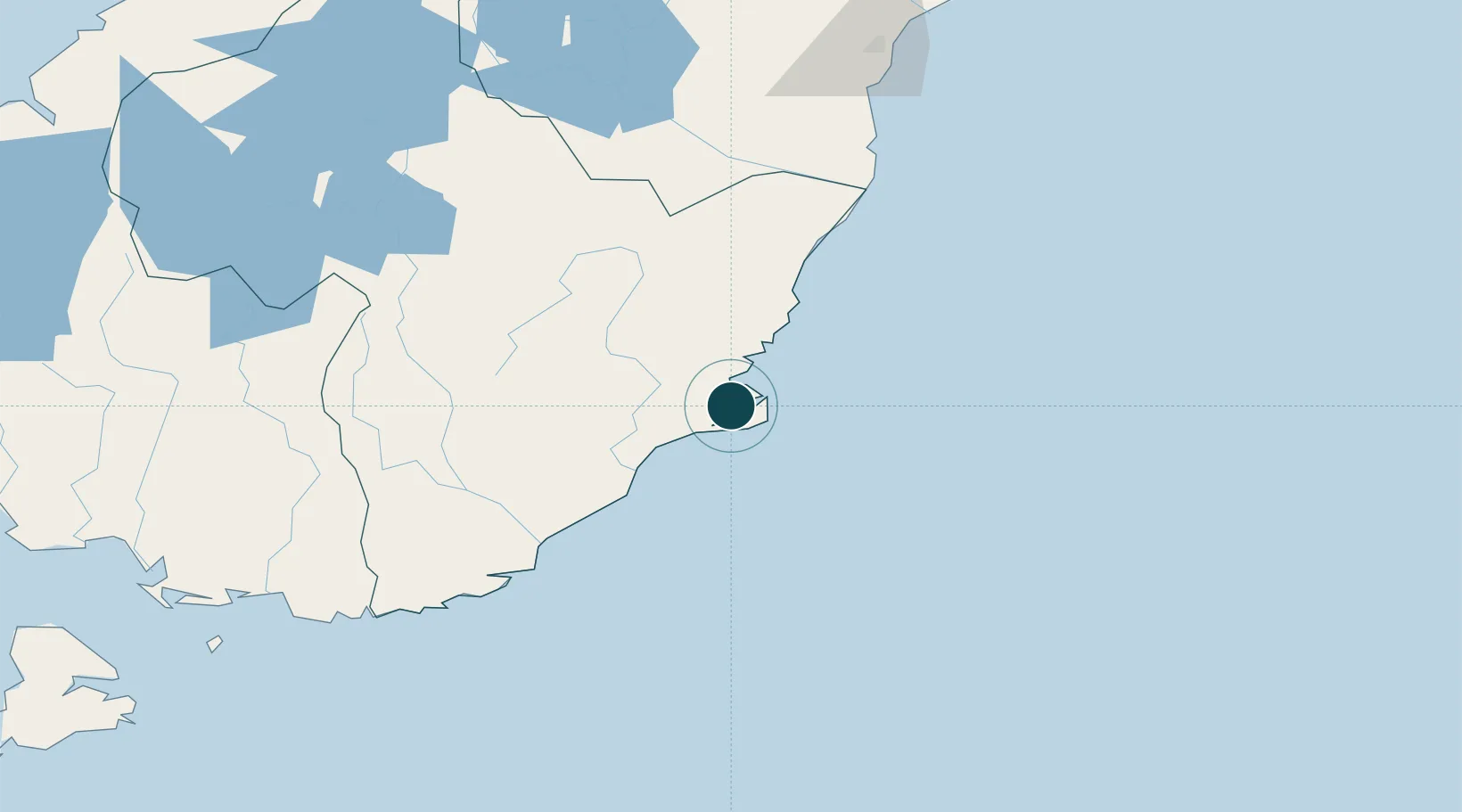
Location
Nearby Logistics Neighbours
Ports
- 1Timaru165 km
- 2Bluff Harbor197 km
- 3Akaroa290 km
- 4Port Lyttelton296 km
- 5Greymouth379 km
Cities
- 1Port Chalmers3 km
- 2Ravensbourne9 km
- 3Dunedin11 km
- 4Mosgiel23 km
- 5Milton61 km
Airports
- 1Dunedin International Airport36 km
- 2Oamaru Airport101 km
- 3Alexandra Aerodrome119 km
- 4Wanaka Airport163 km
- 5Queenstown Airport172 km
Trade Zones
- 1Hicks Bay Area Special Economic Zone1105 km
- 2Latrobe Valley Economic Growth Zone2162 km
- 3Rotuma-Kadavu Tax-Free Region3160 km
- 4Kalabu Tax Free Zone3167 km
- 5Nausori-Ba Tax-Free Region3175 km
DatabookThe Record of Consolidated Knowledge
New Zealand beyond logistics?