Medium airport · New Zealand
Alexandra AerodromeNZLX
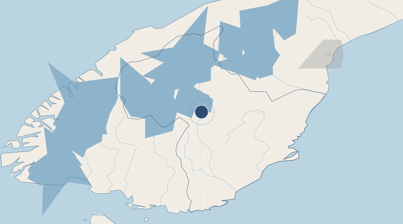
-45.2105°, 169.3711°
3,937 ft
Longest runway
3
Runways
752 ft
Elevation
Runway & Layout

Radio Frequencies
CTAF
119.1 MHz
AFIS
122.2 MHz
CHRISTCHURCH FIS
Navaids
LX NDB-DME Alexandra 0.39 MHz
Runways · 3
| Runway | Dimensions | Surface | True heading | Lit |
|---|---|---|---|---|
| 14L/32R | 3,937 × 197ft | Grass | 160° | — |
| 14R/32L | 3,937 × 98ft | Asphalt | 160° | — |
| 01/19 | 2,139 × 197ft | Grass | 034° | — |
Airport Specifications
IATA code
ALR
ICAO code
NZLX
Airport class
Medium airport
Scheduled service
No
Runway surface
Grass
Served city
Alexandra
Location
Nearby Logistics Neighbours
Airports
- 1Queenstown Airport53 km
- 2Wanaka Airport55 km
- 3Dunedin International Airport103 km
- 4Pukaki Airport124 km
- 5Oamaru Airport137 km
Cities
- 1Otematata97 km
- 2Mosgiel106 km
- 3Milton111 km
- 4Dunedin116 km
- 5Otago Harbour117 km
Ports
- 1Otago Harbor119 km
- 2Timaru174 km
- 3Bluff Harbor174 km
- 4Port Lyttelton320 km
- 5Akaroa325 km
Trade Zones
- 1Hicks Bay Area Special Economic Zone1117 km
- 2Latrobe Valley Economic Growth Zone2050 km
- 3Rotuma-Kadavu Tax-Free Region3125 km
- 4Kalabu Tax Free Zone3132 km
- 5Nausori-Ba Tax-Free Region3140 km
DatabookThe Record of Consolidated Knowledge
New Zealand beyond logistics?