Transport Functions
Rail
Road
Hub Profile
Place type
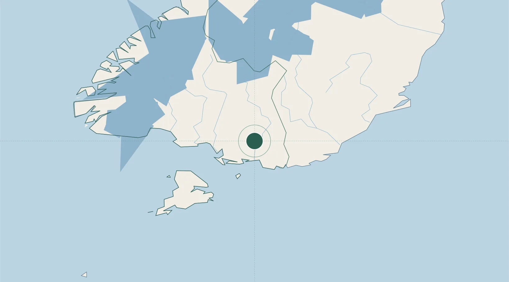
Populated place
Region
Southland
Population
588
Time zone
Pacific/Auckland
Elevation
43 m
Location
Nearby Logistics Neighbours
Cities
- 1Makarewa33 km
- 2Tiwai Point-Bluff Port45 km
- 3Bluff46 km
- 4Milton94 km
- 5Mosgiel131 km
Ports
- 1Bluff Harbor47 km
- 2Otago Harbor153 km
- 3Timaru287 km
- 4Akaroa432 km
- 5Port Lyttelton432 km
Airports
- 1Invercargill Airport38 km
- 2Dunedin International Airport117 km
- 3Manapouri Airport124 km
- 4Alexandra Aerodrome131 km
- 5Queenstown Airport144 km
Trade Zones
- 1Hicks Bay Area Special Economic Zone1238 km
- 2Latrobe Valley Economic Growth Zone2040 km
- 3Rotuma-Kadavu Tax-Free Region3256 km
- 4Kalabu Tax Free Zone3263 km
- 5Nausori-Ba Tax-Free Region3271 km
DatabookThe Record of Consolidated Knowledge
New Zealand beyond logistics?