UN/LOCODE hub · New Zealand
NZBLU
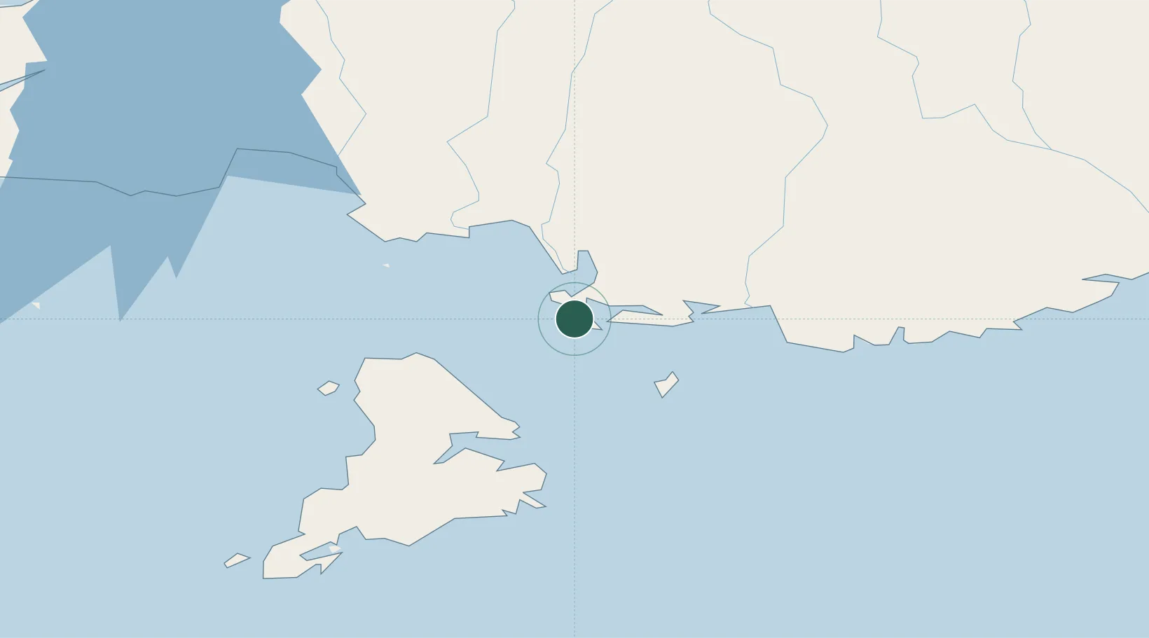
Bluff
-46.5949°, 168.3342°
1,938
Population
3
Transport functions
1
Container terminals
Transport Functions
Port
Rail
Road
Hub Profile
Place type
Populated place
Region
Southland
Population
1,938
Time zone
Pacific/Auckland
Elevation
31 m
Logistics facilities
5
Container terminals
1
Location
Nearby Logistics Neighbours
Cities
- 1Tiwai Point-Bluff Port2 km
- 2Makarewa29 km
- 3Edendale46 km
- 4Milton136 km
- 5Deep Cove157 km
Ports
- 1Otago Harbor197 km
- 2Timaru333 km
- 3Akaroa478 km
- 4Port Lyttelton479 km
- 5Greymouth516 km
Airports
- 1Invercargill Airport20 km
- 2Manapouri Airport129 km
- 3Dunedin International Airport161 km
- 4Alexandra Aerodrome174 km
- 5Queenstown Airport178 km
Trade Zones
- 1Hicks Bay Area Special Economic Zone1284 km
- 2Latrobe Valley Economic Growth Zone2018 km
- 3Rotuma-Kadavu Tax-Free Region3296 km
- 4Kalabu Tax Free Zone3303 km
- 5Nausori-Ba Tax-Free Region3311 km
DatabookThe Record of Consolidated Knowledge
New Zealand beyond logistics?