Channel & Berth Profile
Pilotage, Tugs & Services
Pilotage compulsoryYES
Pilotage availableYES
Local assistanceNO
Tug assistanceYES
Potable waterYES
Diesel bunkersYES
MedicalYES
Facilities & Capabilities
ContainerNO
Ro-RoNO
Liquid bulkYES
Dry bulkYES
Oil terminal—
Break bulkYES
Dry dockNO
RepairsNO
BunkeringYES
Rail link—
Dangerous cargo—
ISPS security—
Harbour Specifications
Harbour size
Small
Harbour type
Coastal (Natural)
Shelter
Good
Water body
Norwegian Sea; North Atlantic Ocean
Tidal range
3 m
Overhead limit
Yes
Pilotage
Yes
Liner Connectivity
13.8
PLSCI
Port Liner Shipping Connectivity Index for Svolvaer, as published by UNCTAD for the latest available quarter. Higher values indicate stronger scheduled liner-shipping integration.
Shown relative to the highest per-port PLSCI in the dataset (1,657.9).
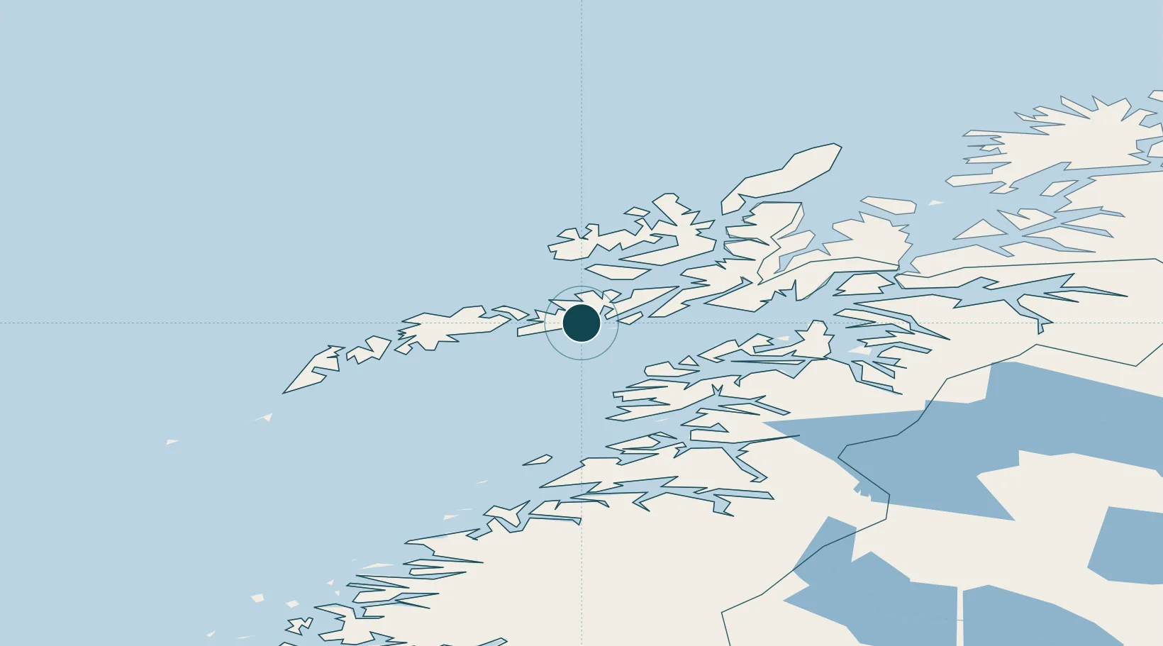
Location
Nearby Logistics Neighbours
Ports
- 1Skrova Havn8 km
- 2Brettesnes11 km
- 3Henningsvaer18 km
- 4Stamsund33 km
- 5Stokkmarknes40 km
Cities
- 1Svolvær Osan2 km
- 2Kabelvåg5 km
- 3Skrova8 km
- 4Brettesnes12 km
- 5Liland13 km
Airports
- 1Svolvær Airport, Helle4 km
- 2Leknes Airport41 km
- 3Stokmarknes Airport, Skagen43 km
- 4Harstad/Narvik Airport91 km
- 5Værøy Heliport101 km
Trade Zones
- 1Oulu Port Free Warehouse Area597 km
- 2Turku Free Zone939 km
- 3Stockholm Free Zone1003 km
- 4Freeport of Hanko1016 km
- 5Port of Hamina-Kotka1044 km
DatabookThe Record of Consolidated Knowledge
Norway beyond logistics?