UN/LOCODE hub · Norway
NOLID

Liland

68.3333°, 14.7500°
1
Transport functions

Transport Functions

Port
Liland is also a profiled seaport →
UN/LOCODE

Hub Profile

Place type
Populated place
GeoNames
Region
Nordland
GeoNames
Time zone
Europe/Oslo
GeoNames

Location

Location of NOLID
Natural Earth 10m (public domain) · Nordland · NOLID · 68.33, 14.75GoogleOSMYandex

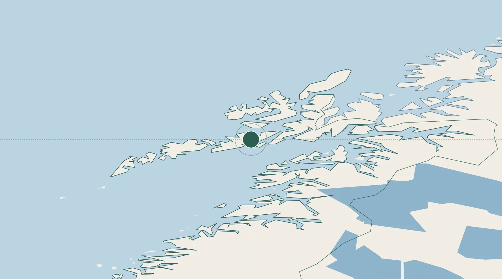
Nearby Logistics Neighbours

Cities
  1. 1Fiskebøl11 km
  2. 2Brettesnes12 km
  3. 3Svolvær Osan14 km
  4. 4Laukvik15 km
  5. 5Svolvær15 km
Nearest neighbours — logibook spatial index (haversine) over the source coordinates
Ports
  1. 1Brettesnes12 km
  2. 2Svolvaer13 km
  3. 3Skrova Havn19 km
  4. 4Stokkmarknes27 km
  5. 5Henningsvaer30 km
Nearest neighbours — logibook spatial index (haversine) over the source coordinates
Airports
  1. 1Svolvær Airport, Helle11 km
  2. 2Stokmarknes Airport, Skagen30 km
  3. 3Leknes Airport51 km
  4. 4Harstad/Narvik Airport81 km
  5. 5Værøy Heliport113 km
Nearest neighbours — logibook spatial index (haversine) over the source coordinates
Trade Zones
  1. 1Oulu Port Free Warehouse Area597 km
  2. 2Turku Free Zone946 km
  3. 3Stockholm Free Zone1012 km
  4. 4Freeport of Hanko1023 km
  5. 5Port of Hamina-Kotka1048 km
Nearest neighbours — logibook spatial index (haversine) over the source coordinates
DatabookThe Record of Consolidated Knowledge
Norway beyond logistics?
Browse databook

All Sources

LocationsUN/LOCODE
UN/LOCODE — free
Portsthe NGA World Port Index
Public domain (US gov)
AirportsOurAirports
Public domain
Trade Zonesthe World Bank SEZ database
CC BY 4.0
Trade ZonesOpen Zone Map
CC BY
← Norway locations