Channel & Berth Profile
Pilotage, Tugs & Services
Potable waterYES
MedicalYES
Facilities & Capabilities
Container—
Ro-Ro—
Liquid bulk—
Dry bulk—
Oil terminal—
Break bulk—
Dry dock—
RepairsNO
BunkeringYES
Rail link—
Dangerous cargo—
ISPS security—
Harbour Specifications
Harbour size
Very Small
Harbour type
Open Roadstead
Shelter
Fair
Water body
Norwegian Sea; North Atlantic Ocean
Overhead limit
No
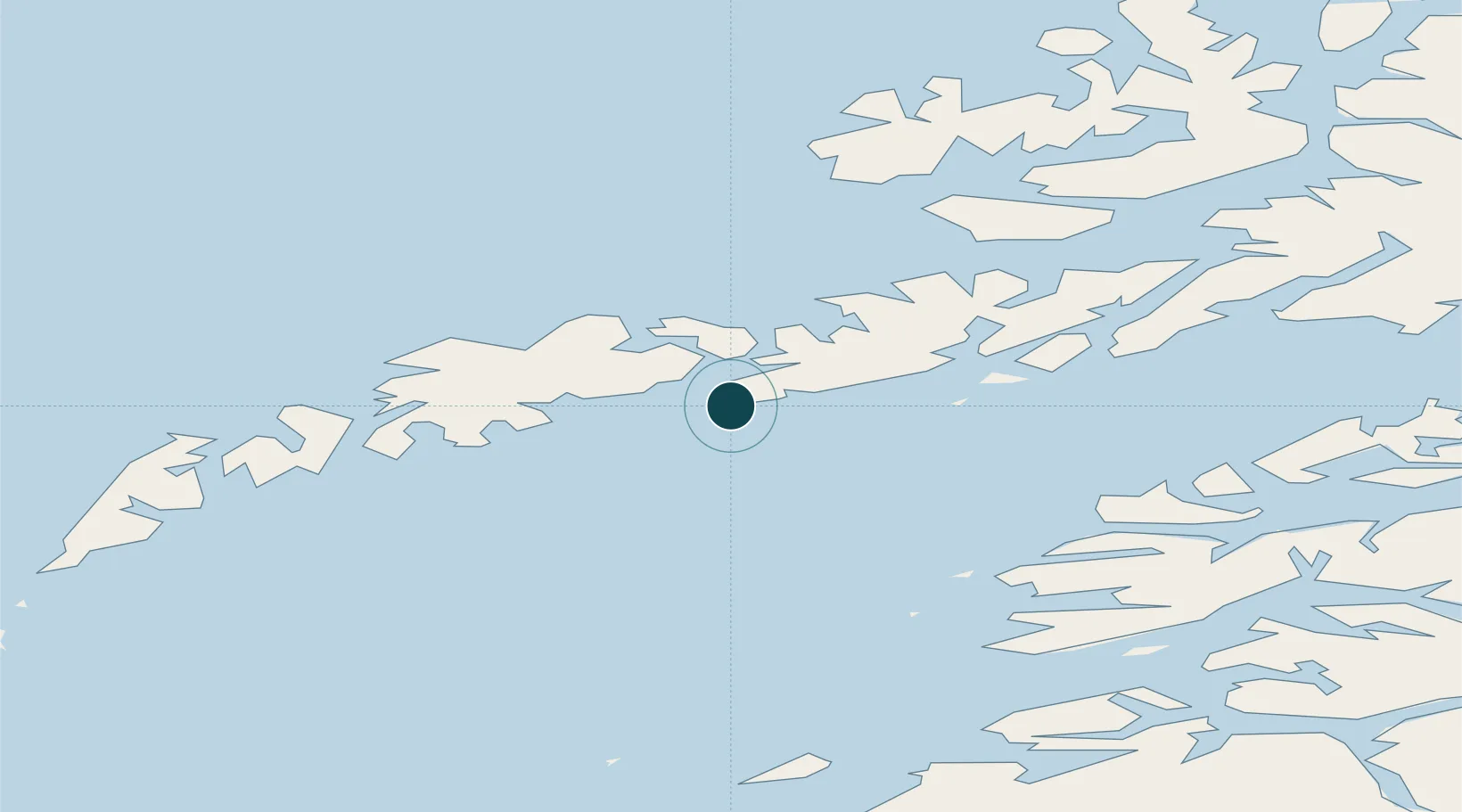
Location
Nearby Logistics Neighbours
Ports
- 1Stamsund16 km
- 2Svolvaer18 km
- 3Skrova Havn19 km
- 4Ballstad23 km
- 5Brettesnes28 km
Cities
- 1Kabelvåg13 km
- 2Svolvær16 km
- 3Svolvær Osan16 km
- 4Stamsund16 km
- 5Skrova19 km
Airports
- 1Svolvær Airport, Helle21 km
- 2Leknes Airport25 km
- 3Stokmarknes Airport, Skagen58 km
- 4Værøy Heliport83 km
- 5Bodø Airport99 km
Trade Zones
- 1Oulu Port Free Warehouse Area606 km
- 2Turku Free Zone938 km
- 3Stockholm Free Zone997 km
- 4Freeport of Hanko1015 km
- 5Port of Hamina-Kotka1048 km
DatabookThe Record of Consolidated Knowledge
Norway beyond logistics?