Large airport · Norway
Harstad/Narvik AirportENEV
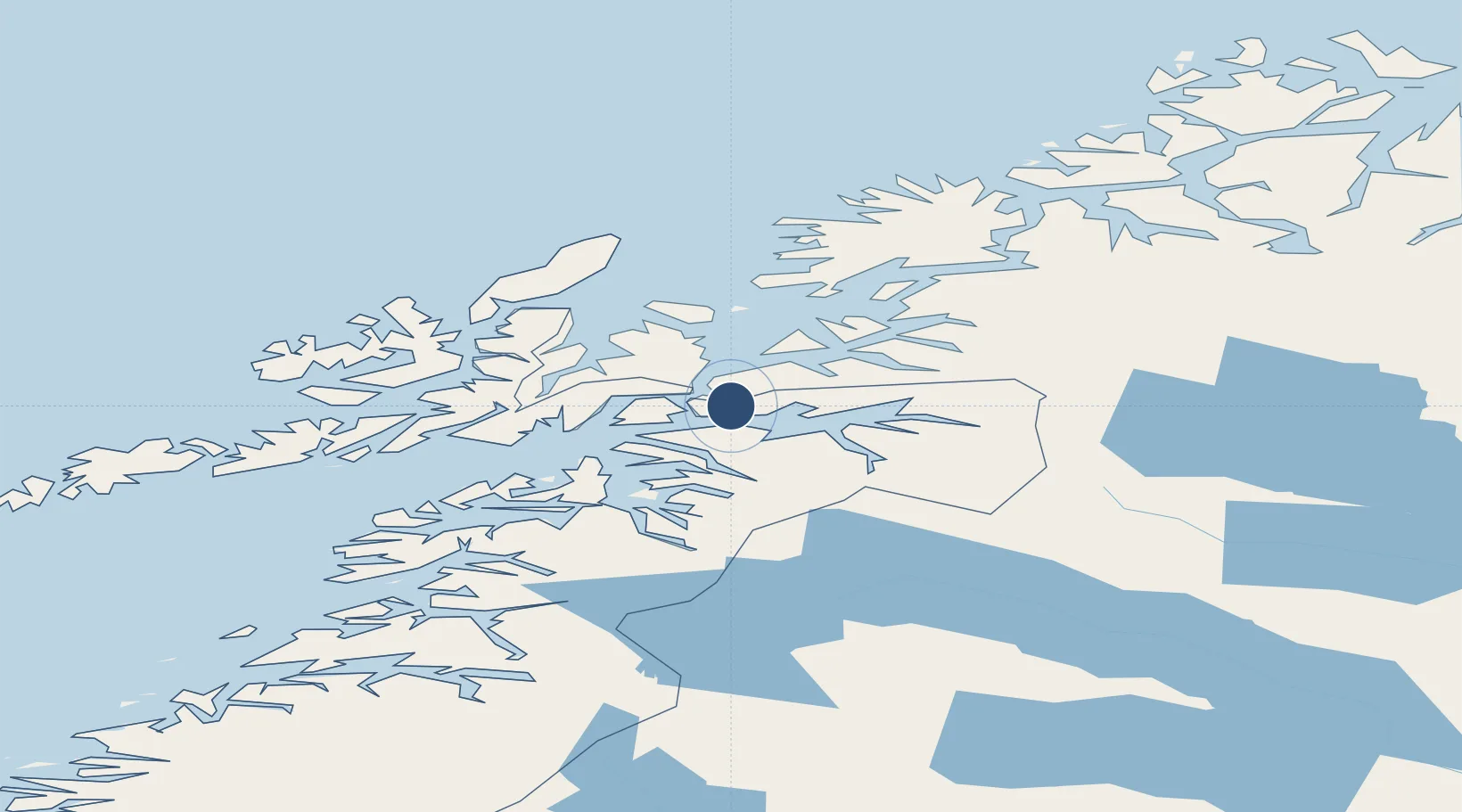
68.4913°, 16.6781°
9,236 ft
Longest runway
1
Runways
84 ft
Elevation
Runway & Layout

Radio Frequencies
ATIS
126.025 MHz
TWR
118 MHz
ACC
126.45 MHz
BODO CON
Navaids
EVD VOR-DME Evenes 117.35 MHz
EVS TACAN Evenes 134.00 MHz
ODD NDB Odden 365 kHz
Runways · 1
| Runway | Dimensions | Surface | True heading | Lit |
|---|---|---|---|---|
| 17/35 | 9,236 × 148ft | Asphalt | 178° | ✓ |
Airport Specifications
IATA code
EVE
ICAO code
ENEV
Airport class
Large airport
Scheduled service
Yes
Runway surface
Asphalt
Served city
Evenes
Location
Nearby Logistics Neighbours
Airports
- 1Stokmarknes Airport, Skagen68 km
- 2Svolvær Airport, Helle87 km
- 3Andøya Airport, Andenes92 km
- 4Bardufoss Airport98 km
- 5Leknes Airport132 km
Cities
- 1Ramsund7 km
- 2Fjelldal10 km
- 3Hekkelstrand12 km
- 4Bogen13 km
- 5Ballangen19 km
Ports
- 1Lilandsgrunnen9 km
- 2Litle Ballangen18 km
- 3Ulvik20 km
- 4Lodingen29 km
- 5Narvik31 km
Trade Zones
- 1Oulu Port Free Warehouse Area545 km
- 2Turku Free Zone932 km
- 3Free Zone of Lappeenranta987 km
- 4Freeport of Hanko1008 km
- 5Port of Hamina-Kotka1016 km
DatabookThe Record of Consolidated Knowledge
Norway beyond logistics?