UN/LOCODE hub · Norway
NOSOS

Svolvær Osan

68.2333°, 14.5333°
1
Transport functions

Transport Functions

Port
UN/LOCODE

Hub Profile

Region
18
GeoNames

Location

Location of NOSOS
Natural Earth 10m (public domain) · 18 · NOSOS · 68.23, 14.53GoogleOSMYandex

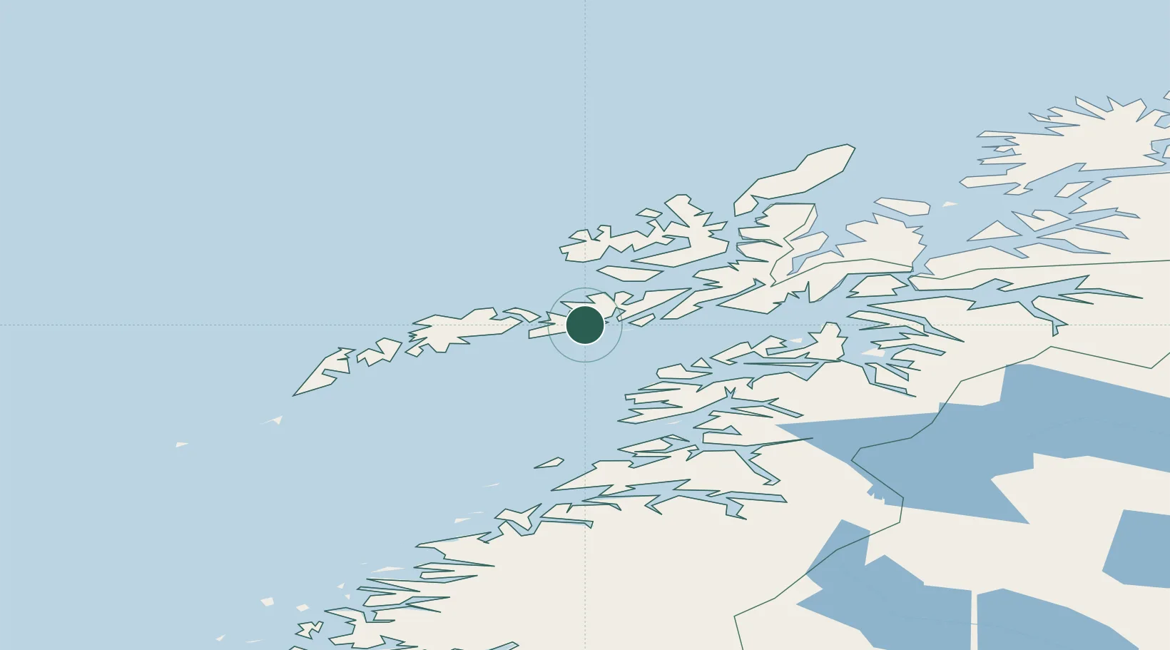
Nearby Logistics Neighbours

Cities
  1. 1Svolvær2 km
  2. 2Kabelvåg3 km
  3. 3Skrova9 km
  4. 4Brettesnes14 km
  5. 5Liland14 km
Nearest neighbours — logibook spatial index (haversine) over the source coordinates
Ports
  1. 1Svolvaer2 km
  2. 2Skrova Havn9 km
  3. 3Brettesnes13 km
  4. 4Henningsvaer16 km
  5. 5Stamsund31 km
Nearest neighbours — logibook spatial index (haversine) over the source coordinates
Airports
  1. 1Svolvær Airport, Helle6 km
  2. 2Leknes Airport39 km
  3. 3Stokmarknes Airport, Skagen44 km
  4. 4Harstad/Narvik Airport93 km
  5. 5Værøy Heliport99 km
Nearest neighbours — logibook spatial index (haversine) over the source coordinates
Trade Zones
  1. 1Oulu Port Free Warehouse Area599 km
  2. 2Turku Free Zone940 km
  3. 3Stockholm Free Zone1003 km
  4. 4Freeport of Hanko1017 km
  5. 5Port of Hamina-Kotka1046 km
Nearest neighbours — logibook spatial index (haversine) over the source coordinates
DatabookThe Record of Consolidated Knowledge
Norway beyond logistics?
Browse databook

All Sources

LocationsUN/LOCODE
UN/LOCODE — free
Portsthe NGA World Port Index
Public domain (US gov)
AirportsOurAirports
Public domain
Trade Zonesthe World Bank SEZ database
CC BY 4.0
Trade ZonesOpen Zone Map
CC BY
← Norway locations