Channel & Berth Profile
Pilotage, Tugs & Services
Pilotage availableYES
Pilotage advisableYES
Tug assistanceYES
Potable waterYES
Diesel bunkersYES
MedicalYES
Facilities & Capabilities
ContainerNO
Ro-RoYES
Liquid bulkNO
Dry bulkNO
Oil terminal—
Break bulkYES
Dry dock—
RepairsNO
BunkeringYES
Rail link—
Dangerous cargo—
ISPS security—
Harbour Specifications
Harbour size
Very Small
Harbour type
Coastal (Natural)
Shelter
Fair
Water body
Norwegian Sea; North Atlantic Ocean
Overhead limit
No
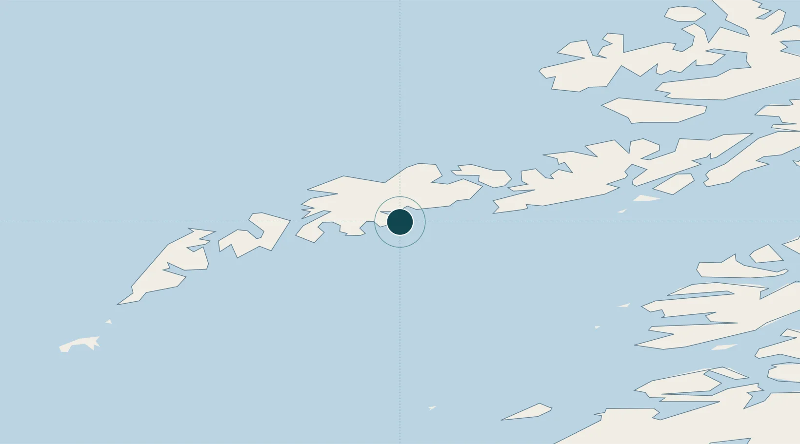
Location
Nearby Logistics Neighbours
Ports
- 1Ballstad9 km
- 2Henningsvaer16 km
- 3Svolvaer33 km
- 4Skrova Havn34 km
- 5Reine37 km
Cities
- 1Leknes11 km
- 2Voll11 km
- 3Ballstad14 km
- 4Gravdal15 km
- 5Henningsvær16 km
Airports
- 1Leknes Airport11 km
- 2Svolvær Airport, Helle37 km
- 3Værøy Heliport70 km
- 4Stokmarknes Airport, Skagen70 km
- 5Bodø Airport97 km
Trade Zones
- 1Oulu Port Free Warehouse Area617 km
- 2Turku Free Zone942 km
- 3Stockholm Free Zone997 km
- 4Freeport of Hanko1020 km
- 5Port of Hamina-Kotka1055 km
DatabookThe Record of Consolidated Knowledge
Norway beyond logistics?