Transport Functions
Port
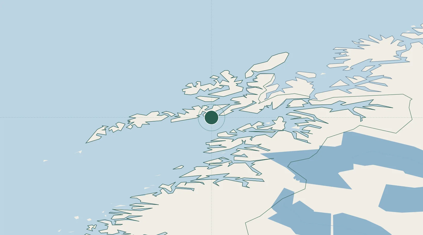
Hub Profile
Place type
Populated place
Region
Nordland
Time zone
Europe/Oslo
Elevation
80 m
Location
Nearby Logistics Neighbours
Cities
- 1Skrova11 km
- 2Liland12 km
- 3Svolvær13 km
- 4Svolvær Osan14 km
- 5Kabelvåg16 km
Ports
- 1Skrova Havn11 km
- 2Svolvaer12 km
- 3Henningsvaer28 km
- 4Tranoy34 km
- 5Stokkmarknes37 km
Airports
- 1Svolvær Airport, Helle8 km
- 2Stokmarknes Airport, Skagen39 km
- 3Leknes Airport53 km
- 4Harstad/Narvik Airport80 km
- 5Bodø Airport109 km
Trade Zones
- 1Oulu Port Free Warehouse Area587 km
- 2Turku Free Zone934 km
- 3Stockholm Free Zone1000 km
- 4Freeport of Hanko1011 km
- 5Port of Hamina-Kotka1037 km
DatabookThe Record of Consolidated Knowledge
Norway beyond logistics?