UN/LOCODE hub · Norway
NOSVJ

Svolvær

68.2167°, 14.5500°
3
Transport functions

Transport Functions

Port
Road
Airport
Svolvær is also a profiled seaport →
UN/LOCODE

Hub Profile

Region
18
GeoNames

Location

Location of NOSVJ
Natural Earth 10m (public domain) · 18 · NOSVJ · 68.22, 14.55GoogleOSMYandex

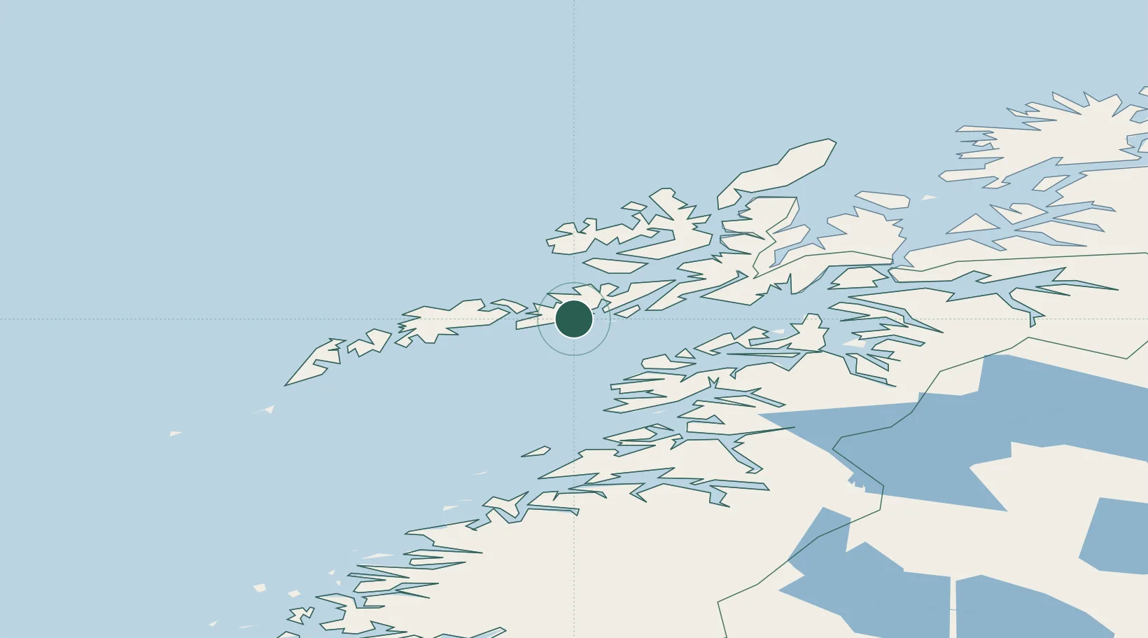
Nearby Logistics Neighbours

Cities
  1. 1Svolvær Osan2 km
  2. 2Kabelvåg3 km
  3. 3Skrova7 km
  4. 4Brettesnes13 km
  5. 5Liland15 km
Nearest neighbours — logibook spatial index (haversine) over the source coordinates
Ports
  1. 1Skrova Havn7 km
  2. 2Brettesnes13 km
  3. 3Henningsvaer16 km
  4. 4Stamsund31 km
  5. 5Ballstad39 km
Nearest neighbours — logibook spatial index (haversine) over the source coordinates
Airports
  1. 1Svolvær Airport, Helle6 km
  2. 2Leknes Airport40 km
  3. 3Stokmarknes Airport, Skagen45 km
  4. 4Harstad/Narvik Airport93 km
  5. 5Værøy Heliport99 km
Nearest neighbours — logibook spatial index (haversine) over the source coordinates
Trade Zones
  1. 1Oulu Port Free Warehouse Area597 km
  2. 2Turku Free Zone938 km
  3. 3Stockholm Free Zone1001 km
  4. 4Freeport of Hanko1015 km
  5. 5Port of Hamina-Kotka1044 km
Nearest neighbours — logibook spatial index (haversine) over the source coordinates
DatabookThe Record of Consolidated Knowledge
Norway beyond logistics?
Browse databook

All Sources

LocationsUN/LOCODE
UN/LOCODE — free
Portsthe NGA World Port Index
Public domain (US gov)
AirportsOurAirports
Public domain
Trade Zonesthe World Bank SEZ database
CC BY 4.0
Trade ZonesOpen Zone Map
CC BY
← Norway locations