Transport Functions
Port
Road
Hub Profile
Place type
Populated place
Region
Nordland
Time zone
Europe/Oslo
Elevation
3 m
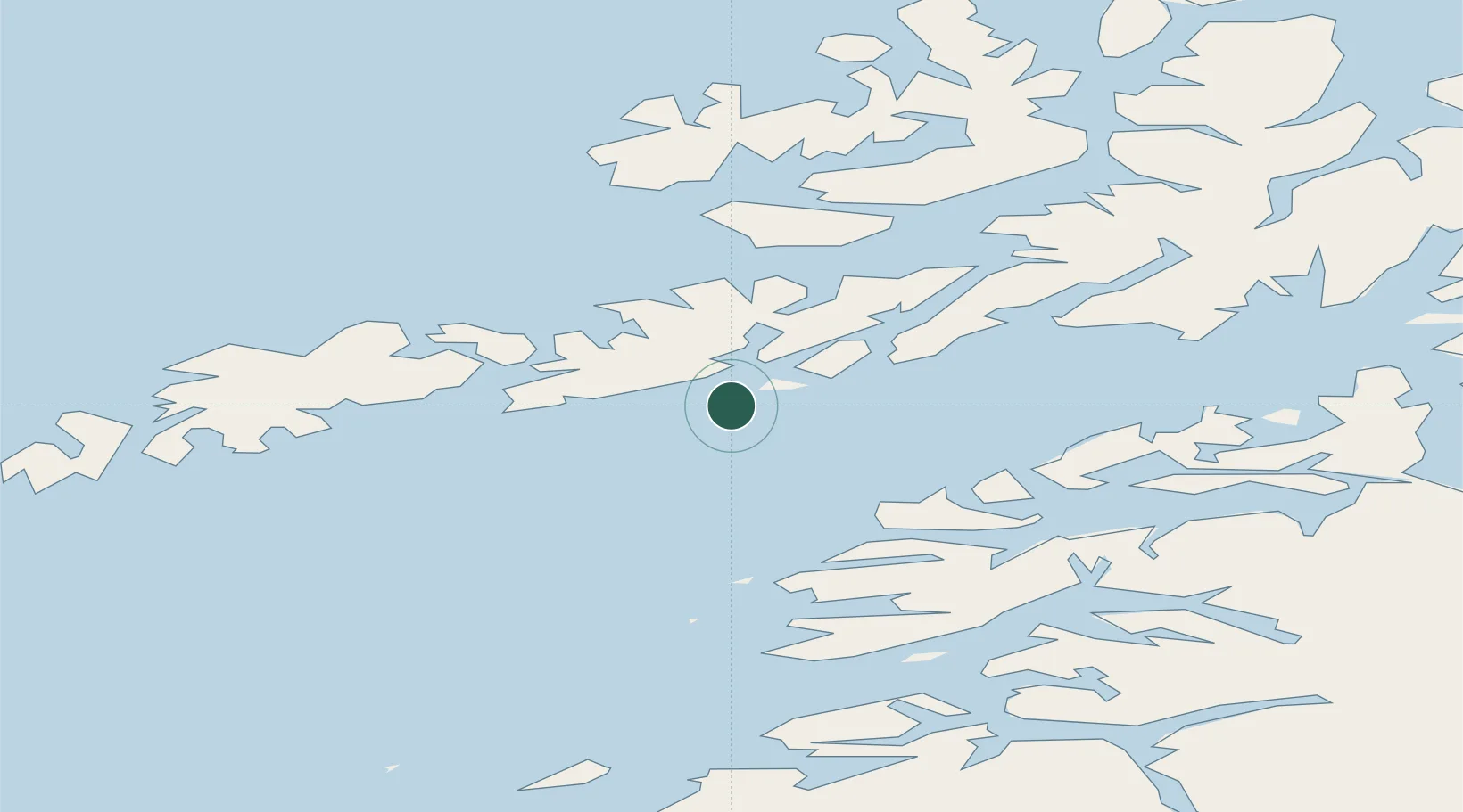
Location
Nearby Logistics Neighbours
Cities
- 1Svolvær7 km
- 2Svolvær Osan9 km
- 3Kabelvåg9 km
- 4Brettesnes11 km
- 5Henningsvær19 km
Ports
- 1Svolvaer8 km
- 2Brettesnes11 km
- 3Henningsvaer19 km
- 4Stamsund34 km
- 5Ballstad42 km
Airports
- 1Svolvær Airport, Helle9 km
- 2Leknes Airport44 km
- 3Stokmarknes Airport, Skagen48 km
- 4Harstad/Narvik Airport90 km
- 5Værøy Heliport99 km
Trade Zones
- 1Oulu Port Free Warehouse Area590 km
- 2Turku Free Zone931 km
- 3Stockholm Free Zone995 km
- 4Freeport of Hanko1008 km
- 5Port of Hamina-Kotka1036 km
DatabookThe Record of Consolidated Knowledge
Norway beyond logistics?