Medium airport · Norway
Stokmarknes Airport, SkagenENSK
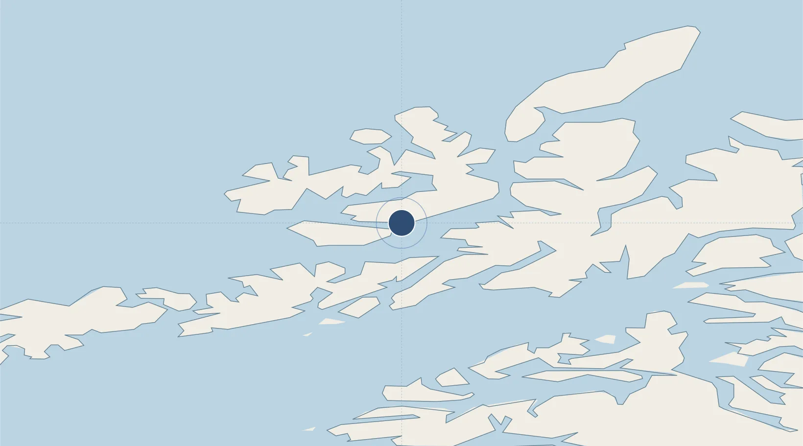
68.5788°, 15.0334°
3,031 ft
Longest runway
1
Runways
11 ft
Elevation
Runway & Layout

Navaids
SKG VOR-DME Skagen 112.80 MHz
Runways · 1
| Runway | Dimensions | Surface | True heading | Lit |
|---|---|---|---|---|
| 08/26 | 3,031 × 98ft | Asphalt | 086° | — |
Airport Specifications
IATA code
SKN
ICAO code
ENSK
Airport class
Medium airport
Scheduled service
Yes
Runway surface
Asphalt
Served city
Hadsel
Location
Nearby Logistics Neighbours
Airports
- 1Svolvær Airport, Helle40 km
- 2Harstad/Narvik Airport68 km
- 3Leknes Airport75 km
- 4Andøya Airport, Andenes91 km
- 5Værøy Heliport140 km
Cities
- 1Stokmarknes6 km
- 2Melbu14 km
- 3Blokken14 km
- 4Straumsnes18 km
- 5Fiskebøl18 km
Ports
- 1Stokkmarknes5 km
- 2Sortland21 km
- 3Brettesnes39 km
- 4Svolvaer43 km
- 5Lodingen43 km
Trade Zones
- 1Oulu Port Free Warehouse Area603 km
- 2Turku Free Zone966 km
- 3Stockholm Free Zone1037 km
- 4Freeport of Hanko1043 km
- 5Port of Hamina-Kotka1062 km
DatabookThe Record of Consolidated Knowledge
Norway beyond logistics?