Channel & Berth Profile
Pilotage, Tugs & Services
Potable waterYES
Diesel bunkersYES
MedicalYES
Facilities & Capabilities
Container—
Ro-Ro—
Liquid bulk—
Dry bulk—
Oil terminal—
Break bulk—
Dry dock—
Repairs—
BunkeringYES
Rail link—
Dangerous cargo—
ISPS security—
Harbour Specifications
Harbour size
Very Small
Harbour type
Coastal (Breakwater)
Shelter
Fair
Water body
Norwegian Sea; North Atlantic Ocean
Overhead limit
Yes
Liner Connectivity
19.9
PLSCI
Port Liner Shipping Connectivity Index for Stokkmarknes, as published by UNCTAD for the latest available quarter. Higher values indicate stronger scheduled liner-shipping integration.
Shown relative to the highest per-port PLSCI in the dataset (1,657.9).
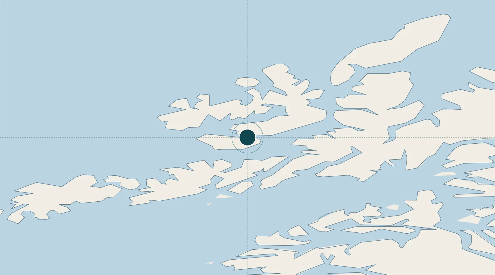
Location
Nearby Logistics Neighbours
Ports
- 1Sortland25 km
- 2Brettesnes37 km
- 3Svolvaer40 km
- 4Skrova Havn46 km
- 5Lodingen47 km
Cities
- 1Melbu10 km
- 2Straumsnes15 km
- 3Fiskebøl15 km
- 4Blokken19 km
- 5Steinesjøen19 km
Airports
- 1Stokmarknes Airport, Skagen5 km
- 2Svolvær Airport, Helle37 km
- 3Leknes Airport71 km
- 4Harstad/Narvik Airport72 km
- 5Andøya Airport, Andenes95 km
Trade Zones
- 1Oulu Port Free Warehouse Area606 km
- 2Turku Free Zone967 km
- 3Stockholm Free Zone1037 km
- 4Freeport of Hanko1043 km
- 5Port of Hamina-Kotka1064 km
DatabookThe Record of Consolidated Knowledge
Norway beyond logistics?