UN/LOCODE hub · Norway
NOHEN

Henningsvær

68.1500°, 14.2167°
1
Transport functions

Transport Functions

Port
Henningsvær is also a profiled seaport →
UN/LOCODE

Hub Profile

Region
18
GeoNames

Location

Location of NOHEN
Natural Earth 10m (public domain) · 18 · NOHEN · 68.15, 14.22GoogleOSMYandex

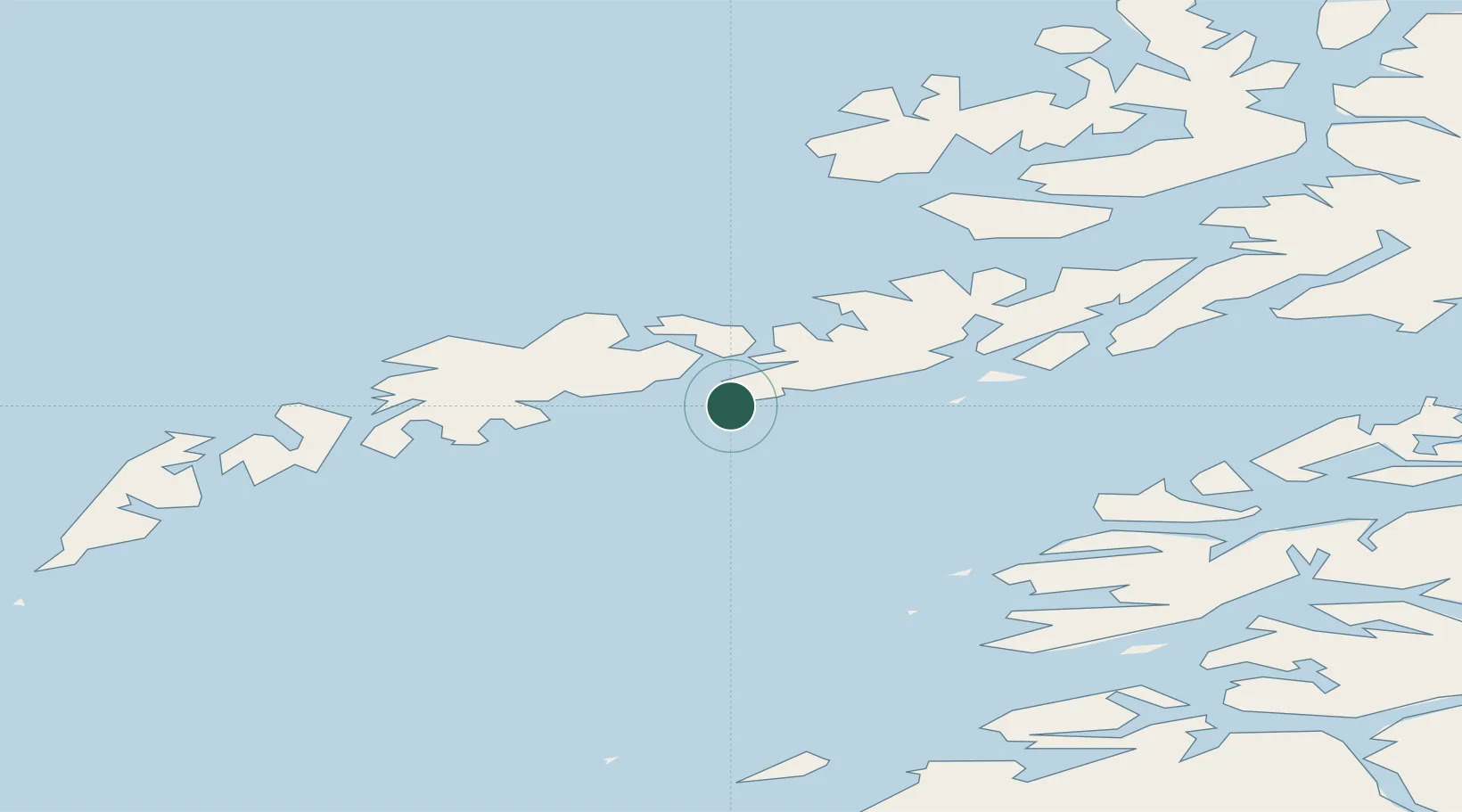
Nearby Logistics Neighbours

Cities
  1. 1Kabelvåg13 km
  2. 2Svolvær16 km
  3. 3Svolvær Osan16 km
  4. 4Stamsund16 km
  5. 5Skrova19 km
Nearest neighbours — logibook spatial index (haversine) over the source coordinates
Ports
  1. 1Stamsund16 km
  2. 2Svolvaer18 km
  3. 3Skrova Havn19 km
  4. 4Ballstad23 km
  5. 5Brettesnes28 km
Nearest neighbours — logibook spatial index (haversine) over the source coordinates
Airports
  1. 1Svolvær Airport, Helle21 km
  2. 2Leknes Airport25 km
  3. 3Stokmarknes Airport, Skagen58 km
  4. 4Værøy Heliport83 km
  5. 5Bodø Airport98 km
Nearest neighbours — logibook spatial index (haversine) over the source coordinates
Trade Zones
  1. 1Oulu Port Free Warehouse Area605 km
  2. 2Turku Free Zone938 km
  3. 3Stockholm Free Zone997 km
  4. 4Freeport of Hanko1015 km
  5. 5Port of Hamina-Kotka1047 km
Nearest neighbours — logibook spatial index (haversine) over the source coordinates
DatabookThe Record of Consolidated Knowledge
Norway beyond logistics?
Browse databook

All Sources

LocationsUN/LOCODE
UN/LOCODE — free
Portsthe NGA World Port Index
Public domain (US gov)
AirportsOurAirports
Public domain
Trade Zonesthe World Bank SEZ database
CC BY 4.0
Trade ZonesOpen Zone Map
CC BY
← Norway locations