Transport Functions
Port
Road
Hub Profile
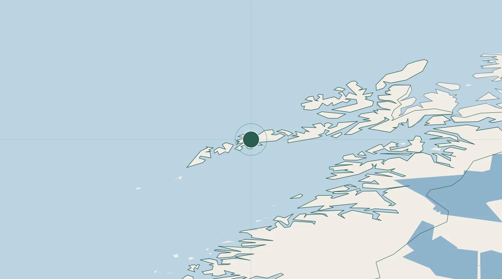
Place type
Populated place
Region
Nordland
Time zone
Europe/Oslo
Elevation
40 m
Location
Nearby Logistics Neighbours
Cities
- 1Leknes7 km
- 2Stamsund11 km
- 3Gravdal12 km
- 4Ballstad16 km
- 5Henningsvær23 km
Ports
- 1Stamsund11 km
- 2Ballstad15 km
- 3Henningsvaer23 km
- 4Svolvaer37 km
- 5Reine38 km
Airports
- 1Leknes Airport6 km
- 2Svolvær Airport, Helle41 km
- 3Stokmarknes Airport, Skagen70 km
- 4Værøy Heliport73 km
- 5Røst Airport100 km
Trade Zones
- 1Oulu Port Free Warehouse Area627 km
- 2Turku Free Zone953 km
- 3Stockholm Free Zone1007 km
- 4Freeport of Hanko1031 km
- 5Port of Hamina-Kotka1066 km
DatabookThe Record of Consolidated Knowledge
Norway beyond logistics?