Transport Functions
Port
Road
Hub Profile
Place type
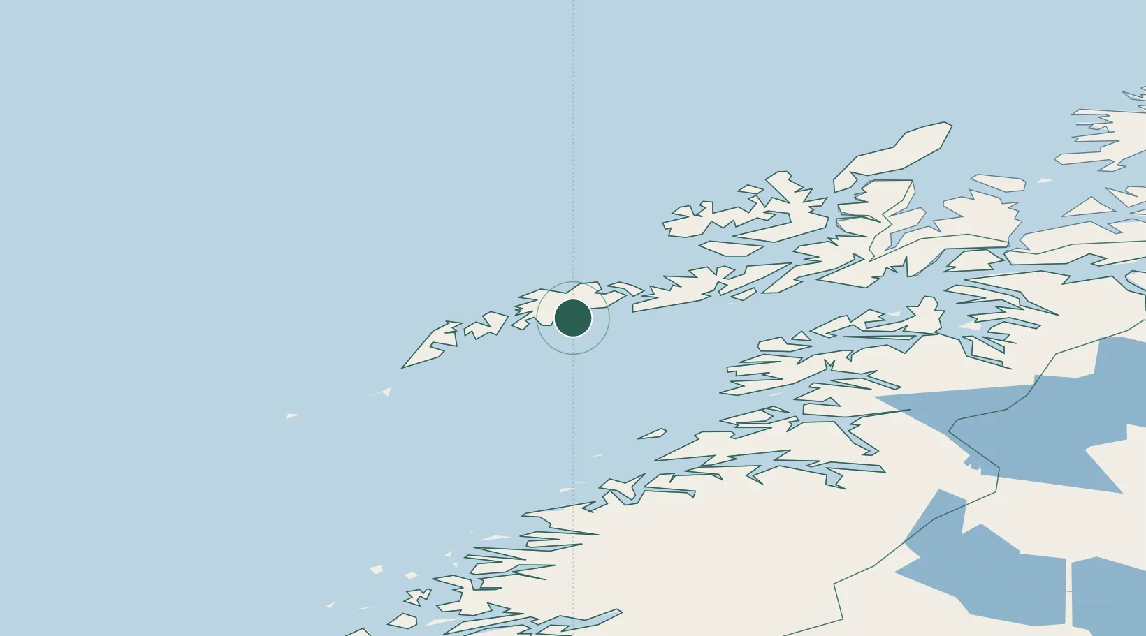
Populated place
Region
Nordland
Population
999
Time zone
Europe/Oslo
Elevation
3 m
Location
Nearby Logistics Neighbours
Cities
- 1Leknes10 km
- 2Voll11 km
- 3Ballstad13 km
- 4Gravdal14 km
- 5Henningsvær16 km
Ports
- 1Ballstad8 km
- 2Henningsvaer16 km
- 3Svolvaer34 km
- 4Skrova Havn35 km
- 5Reine36 km
Airports
- 1Leknes Airport10 km
- 2Svolvær Airport, Helle37 km
- 3Værøy Heliport69 km
- 4Stokmarknes Airport, Skagen71 km
- 5Bodø Airport97 km
Trade Zones
- 1Oulu Port Free Warehouse Area617 km
- 2Turku Free Zone942 km
- 3Stockholm Free Zone997 km
- 4Freeport of Hanko1019 km
- 5Port of Hamina-Kotka1055 km
DatabookThe Record of Consolidated Knowledge
Norway beyond logistics?