Channel & Berth Profile
Pilotage, Tugs & Services
Pilotage availableYES
Pilotage advisableYES
Local assistanceYES
Potable waterYES
Diesel bunkersYES
MedicalYES
Facilities & Capabilities
Container—
Ro-Ro—
Liquid bulk—
Dry bulk—
Oil terminal—
Break bulk—
Dry dock—
RepairsNO
BunkeringYES
Rail link—
Dangerous cargo—
ISPS security—
Harbour Specifications
Harbour size
Very Small
Harbour type
Coastal (Natural)
Shelter
Fair
Water body
Norwegian Sea; North Atlantic Ocean
Overhead limit
No
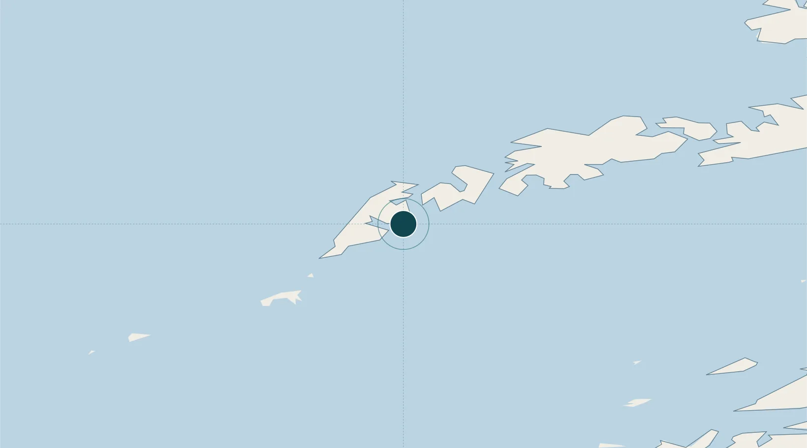
Location
Nearby Logistics Neighbours
Ports
- 1Ballstad29 km
- 2Stamsund37 km
- 3Henningsvaer52 km
- 4Svolvaer70 km
- 5Skrova Havn70 km
Cities
- 1Moskenes7 km
- 2Å i Lofoten8 km
- 3Nusfjord15 km
- 4Ramberg17 km
- 5Ballstad24 km
Airports
- 1Leknes Airport32 km
- 2Værøy Heliport35 km
- 3Røst Airport62 km
- 4Svolvær Airport, Helle73 km
- 5Bodø Airport92 km
Trade Zones
- 1Oulu Port Free Warehouse Area635 km
- 2Turku Free Zone941 km
- 3Stockholm Free Zone986 km
- 4Freeport of Hanko1018 km
- 5Paldiski Free Zone1096 km
DatabookThe Record of Consolidated Knowledge
Norway beyond logistics?