Transport Functions
Port
Hub Profile
Place type
Populated place
Region
Nordland
Population
758
Time zone
Europe/Oslo
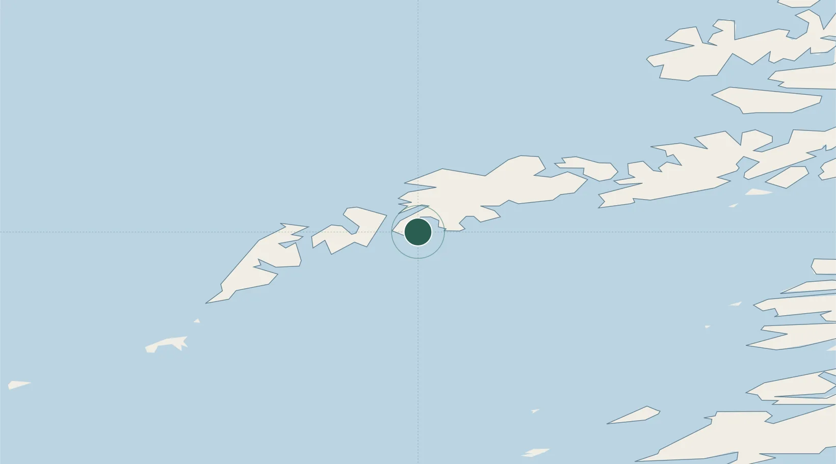
Location
Nearby Logistics Neighbours
Ports
- 1Stamsund14 km
- 2Reine24 km
- 3Henningsvaer29 km
- 4Svolvaer47 km
- 5Skrova Havn48 km
Airports
- 1Leknes Airport10 km
- 2Svolvær Airport, Helle50 km
- 3Værøy Heliport57 km
- 4Stokmarknes Airport, Skagen83 km
- 5Røst Airport86 km
Trade Zones
- 1Oulu Port Free Warehouse Area625 km
- 2Turku Free Zone943 km
- 3Stockholm Free Zone995 km
- 4Freeport of Hanko1021 km
- 5Port of Hamina-Kotka1059 km
DatabookThe Record of Consolidated Knowledge
Norway beyond logistics?