Transport Functions
Port
Road
Airport
Hub Profile
Place type
Provincial seat
Region
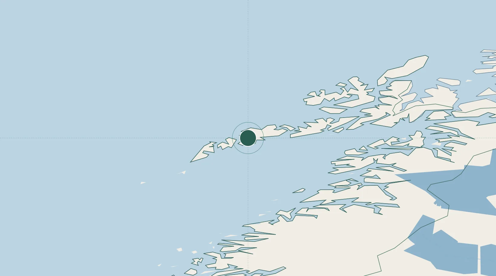
Nordland
Population
3,556
Time zone
Europe/Oslo
Elevation
10 m
Location
Nearby Logistics Neighbours
Ports
- 1Ballstad10 km
- 2Stamsund11 km
- 3Henningsvaer25 km
- 4Reine31 km
- 5Svolvaer42 km
Airports
- 1Leknes Airport1 km
- 2Svolvær Airport, Helle45 km
- 3Værøy Heliport66 km
- 4Stokmarknes Airport, Skagen76 km
- 5Røst Airport94 km
Trade Zones
- 1Oulu Port Free Warehouse Area627 km
- 2Turku Free Zone950 km
- 3Stockholm Free Zone1003 km
- 4Freeport of Hanko1028 km
- 5Port of Hamina-Kotka1064 km
DatabookThe Record of Consolidated Knowledge
Norway beyond logistics?