Channel & Berth Profile
Pilotage, Tugs & Services
Potable waterYES
Facilities & Capabilities
ContainerNO
Ro-RoYES
Liquid bulkNO
Dry bulkNO
Oil terminal—
Break bulkYES
Dry dock—
Repairs—
BunkeringYES
Rail link—
Dangerous cargo—
ISPS security—
Harbour Specifications
Harbour size
Very Small
Harbour type
Coastal (Natural)
Shelter
Good
Water body
Norwegian Sea; North Atlantic Ocean
Overhead limit
Yes
Liner Connectivity
13.9
PLSCI
Port Liner Shipping Connectivity Index for Sortland, as published by UNCTAD for the latest available quarter. Higher values indicate stronger scheduled liner-shipping integration.
Shown relative to the highest per-port PLSCI in the dataset (1,657.9).
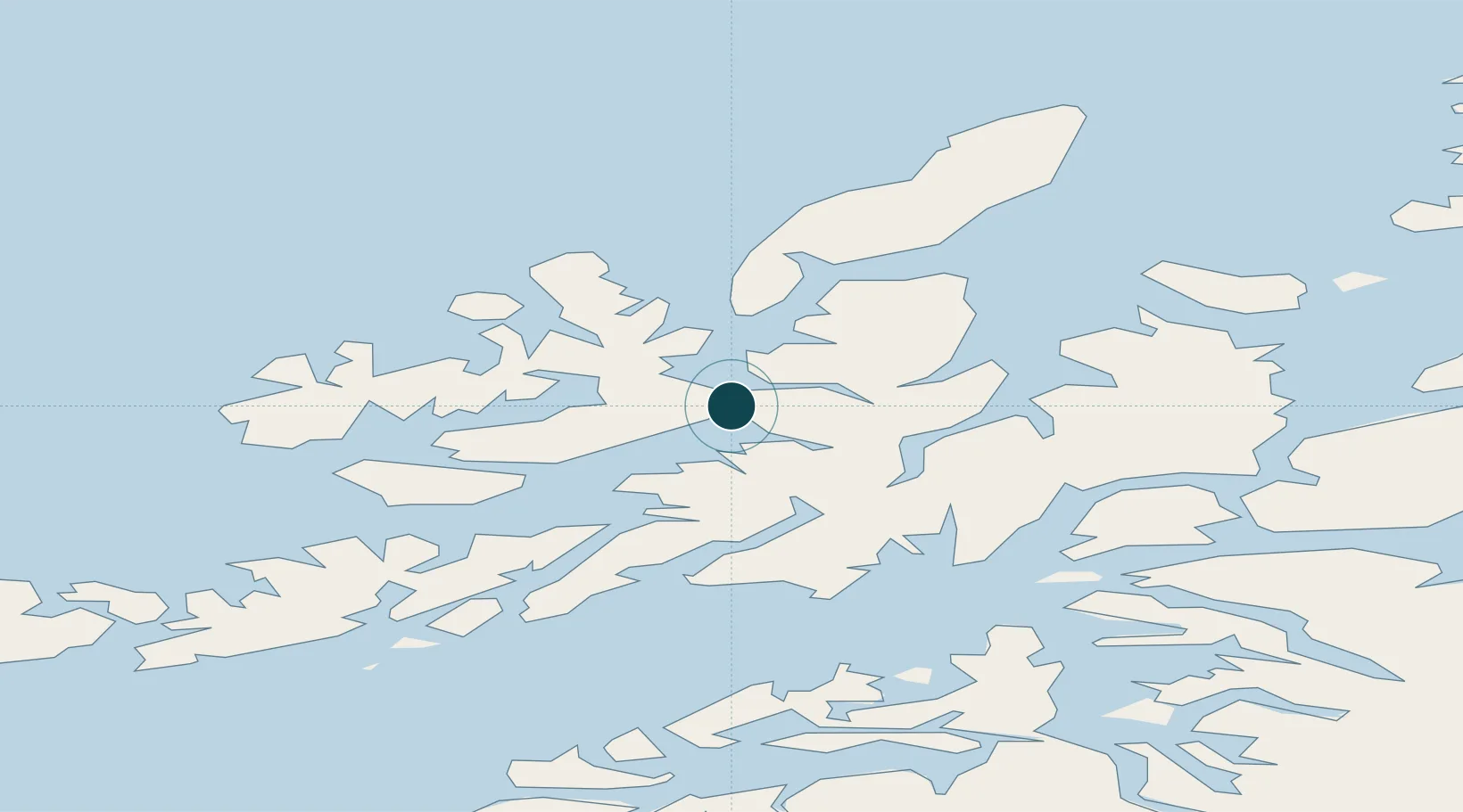
Location
Nearby Logistics Neighbours
Ports
- 1Stokkmarknes25 km
- 2Ulvik36 km
- 3Lodingen39 km
- 4Harstad47 km
- 5Brettesnes57 km
Cities
- 1Sigerfjord8 km
- 2Blokken11 km
- 3Alsvåg23 km
- 4Stokmarknes26 km
- 5Borkenes31 km
Airports
- 1Stokmarknes Airport, Skagen21 km
- 2Harstad/Narvik Airport56 km
- 3Svolvær Airport, Helle59 km
- 4Andøya Airport, Andenes72 km
- 5Leknes Airport96 km
Trade Zones
- 1Oulu Port Free Warehouse Area599 km
- 2Turku Free Zone972 km
- 3Stockholm Free Zone1048 km
- 4Freeport of Hanko1048 km
- 5Port of Hamina-Kotka1063 km
DatabookThe Record of Consolidated Knowledge
Norway beyond logistics?