Transport Functions
Port
Road
Hub Profile
Place type
Populated place
Region
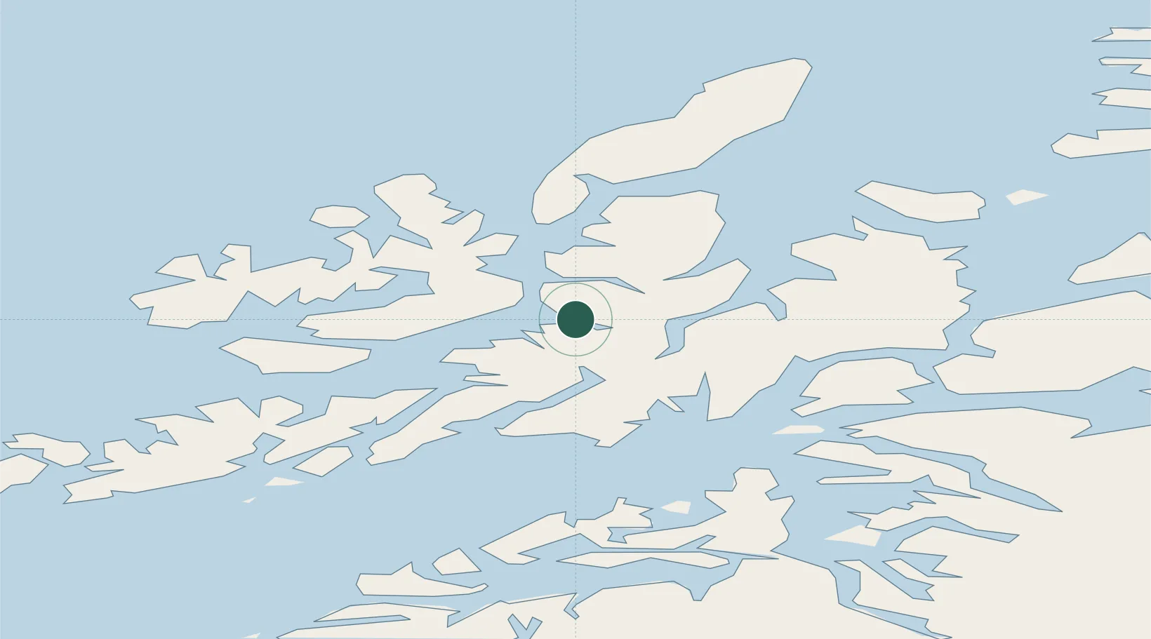
Nordland
Population
792
Time zone
Europe/Oslo
Location
Nearby Logistics Neighbours
Cities
- 1Blokken7 km
- 2Sortland9 km
- 3Stokmarknes27 km
- 4Borkenes30 km
- 5Kvæfjord30 km
Ports
- 1Sortland8 km
- 2Stokkmarknes26 km
- 3Ulvik30 km
- 4Lodingen31 km
- 5Harstad45 km
Airports
- 1Stokmarknes Airport, Skagen21 km
- 2Harstad/Narvik Airport49 km
- 3Svolvær Airport, Helle56 km
- 4Andøya Airport, Andenes78 km
- 5Leknes Airport95 km
Trade Zones
- 1Oulu Port Free Warehouse Area591 km
- 2Turku Free Zone964 km
- 3Freeport of Hanko1040 km
- 4Stockholm Free Zone1040 km
- 5Port of Hamina-Kotka1055 km
DatabookThe Record of Consolidated Knowledge
Norway beyond logistics?