Transport Functions
Port
Hub Profile
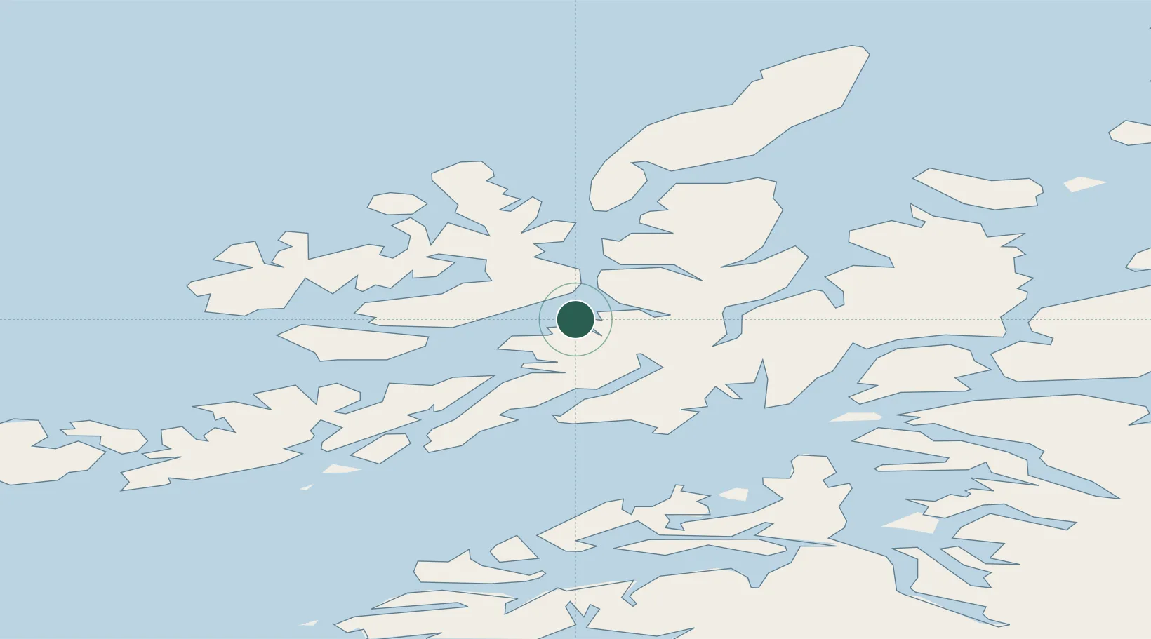
Place type
Populated place
Region
Nordland
Time zone
Europe/Oslo
Elevation
30 m
Location
Nearby Logistics Neighbours
Cities
- 1Sigerfjord7 km
- 2Sortland11 km
- 3Stokmarknes20 km
- 4Melbu27 km
- 5Fiskebøl30 km
Ports
- 1Sortland11 km
- 2Stokkmarknes19 km
- 3Lodingen32 km
- 4Ulvik35 km
- 5Brettesnes46 km
Airports
- 1Stokmarknes Airport, Skagen14 km
- 2Svolvær Airport, Helle49 km
- 3Harstad/Narvik Airport54 km
- 4Andøya Airport, Andenes83 km
- 5Leknes Airport88 km
Trade Zones
- 1Oulu Port Free Warehouse Area593 km
- 2Turku Free Zone963 km
- 3Stockholm Free Zone1037 km
- 4Freeport of Hanko1039 km
- 5Port of Hamina-Kotka1056 km
DatabookThe Record of Consolidated Knowledge
Norway beyond logistics?