Transport Functions
Port
Road
Hub Profile
Place type
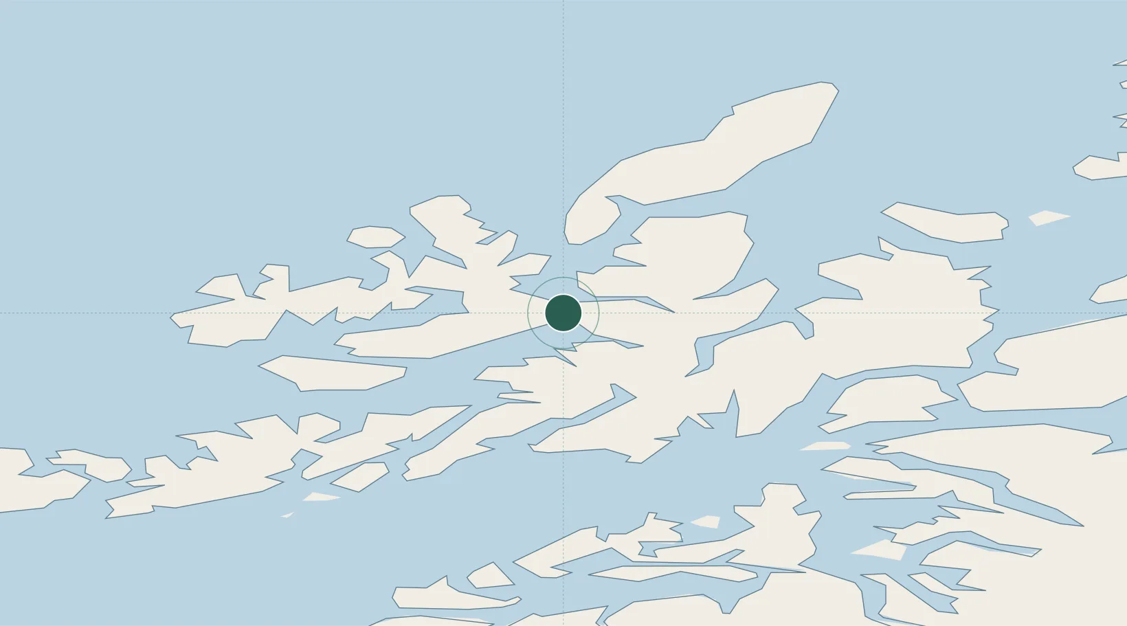
Provincial seat
Region
Nordland
Population
10,468
Time zone
Europe/Oslo
Elevation
5 m
Location
Nearby Logistics Neighbours
Cities
- 1Sigerfjord9 km
- 2Blokken11 km
- 3Alsvåg23 km
- 4Stokmarknes26 km
- 5Risøyhamn31 km
Ports
- 1Stokkmarknes25 km
- 2Ulvik37 km
- 3Lodingen39 km
- 4Harstad47 km
- 5Brettesnes57 km
Airports
- 1Stokmarknes Airport, Skagen21 km
- 2Harstad/Narvik Airport56 km
- 3Svolvær Airport, Helle59 km
- 4Andøya Airport, Andenes72 km
- 5Leknes Airport96 km
Trade Zones
- 1Oulu Port Free Warehouse Area599 km
- 2Turku Free Zone972 km
- 3Stockholm Free Zone1048 km
- 4Freeport of Hanko1048 km
- 5Port of Hamina-Kotka1064 km
DatabookThe Record of Consolidated Knowledge
Norway beyond logistics?