Channel & Berth Profile
Pilotage, Tugs & Services
Pilotage compulsoryYES
Pilotage availableYES
Pilotage advisableYES
Tug assistanceYES
Salvage tugsNO
Shore powerYES
Potable waterYES
Diesel bunkersYES
MedicalYES
Facilities & Capabilities
Container—
Ro-Ro—
Liquid bulk—
Dry bulk—
Oil terminal—
Break bulk—
Dry dockNO
RepairsNO
BunkeringYES
Rail link—
Dangerous cargo—
ISPS security—
Harbour Specifications
Harbour size
Medium
Harbour type
Coastal (Natural)
Shelter
Good
Water body
Norwegian Sea; North Atlantic Ocean
Tidal range
2 m
Overhead limit
No
Pilotage
Yes
Liner Connectivity
13.8
PLSCI
Port Liner Shipping Connectivity Index for Harstad, as published by UNCTAD for the latest available quarter. Higher values indicate stronger scheduled liner-shipping integration.
Shown relative to the highest per-port PLSCI in the dataset (1,657.9).
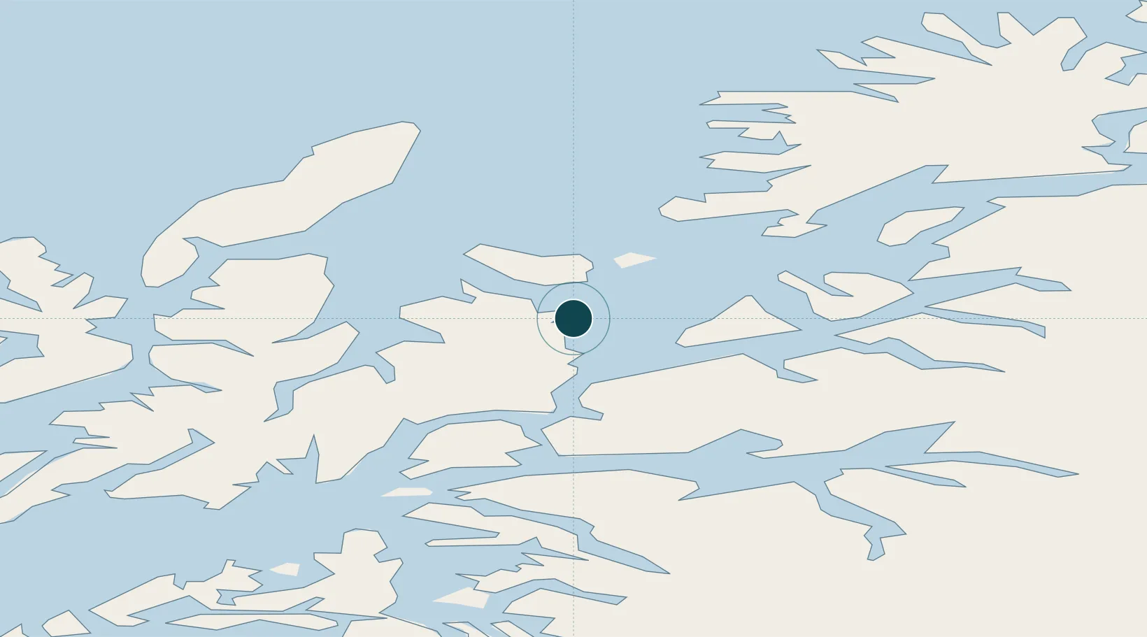
Location
Nearby Logistics Neighbours
Ports
- 1Ulvik30 km
- 2Lilandsgrunnen38 km
- 3Sortland47 km
- 4Lodingen48 km
- 5Litle Ballangen52 km
Airports
- 1Harstad/Narvik Airport35 km
- 2Andøya Airport, Andenes57 km
- 3Stokmarknes Airport, Skagen66 km
- 4Bardufoss Airport85 km
- 5Svolvær Airport, Helle99 km
Trade Zones
- 1Oulu Port Free Warehouse Area572 km
- 2Turku Free Zone967 km
- 3Free Zone of Lappeenranta1017 km
- 4Freeport of Hanko1042 km
- 5Port of Hamina-Kotka1047 km
DatabookThe Record of Consolidated Knowledge
Norway beyond logistics?