Transport Functions
Port
Road
Airport
Hub Profile
Place type
Provincial seat
Region
Nordland
Population
3,367
Time zone
Europe/Oslo
Elevation
1 m
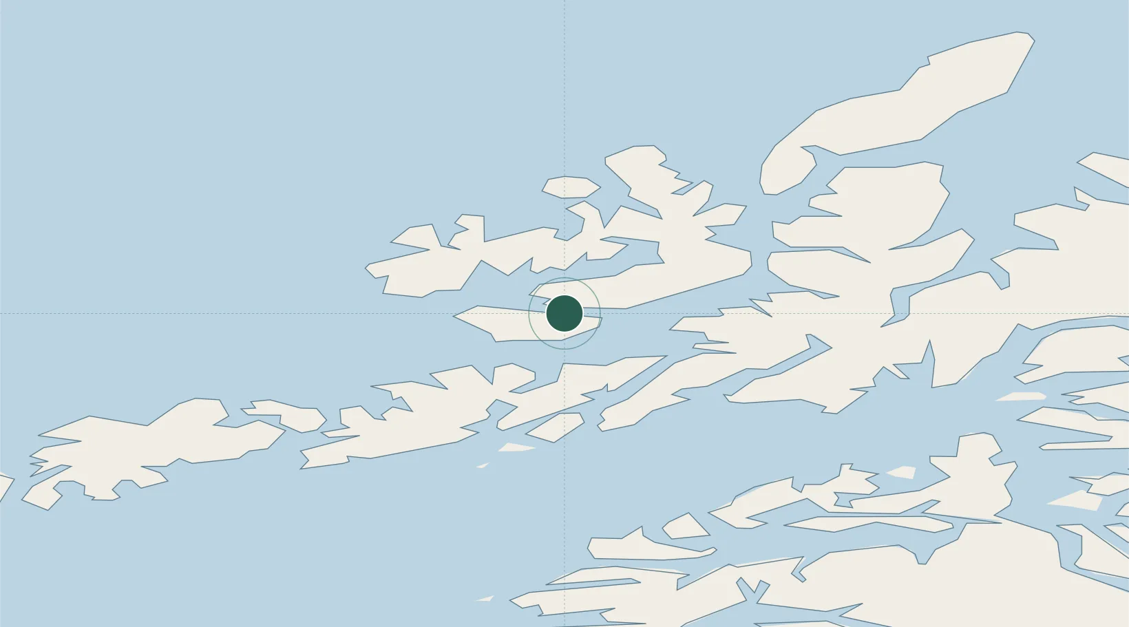
Location
Nearby Logistics Neighbours
Cities
- 1Melbu10 km
- 2Straumsnes14 km
- 3Fiskebøl15 km
- 4Steinesjøen19 km
- 5Blokken20 km
Ports
- 1Sortland26 km
- 2Brettesnes37 km
- 3Svolvaer39 km
- 4Skrova Havn46 km
- 5Lodingen48 km
Airports
- 1Stokmarknes Airport, Skagen6 km
- 2Svolvær Airport, Helle37 km
- 3Leknes Airport70 km
- 4Harstad/Narvik Airport73 km
- 5Andøya Airport, Andenes95 km
Trade Zones
- 1Oulu Port Free Warehouse Area607 km
- 2Turku Free Zone967 km
- 3Stockholm Free Zone1037 km
- 4Freeport of Hanko1044 km
- 5Port of Hamina-Kotka1065 km
DatabookThe Record of Consolidated Knowledge
Norway beyond logistics?