Medium airport · Norway

Andøya Airport, AndenesENAN
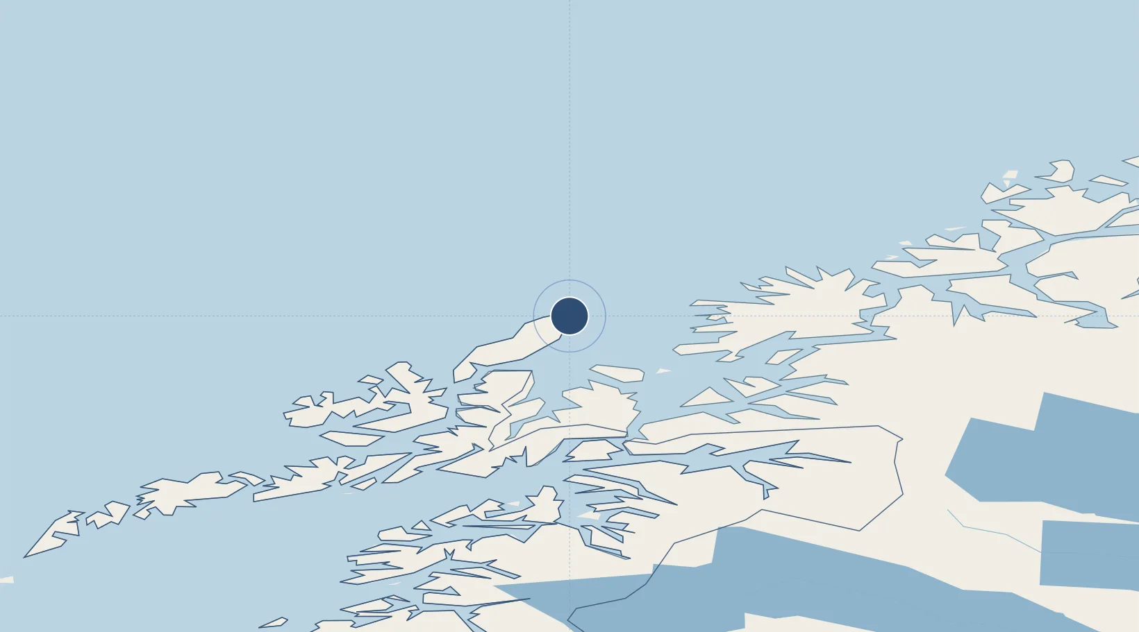
69.2952°, 16.1394°
8,097 ft
Longest runway
2
Runways
43 ft
Elevation

Runway & Layout

Andøya Airport, Andenes runway & taxiway layout
Runway & taxiway layout — OpenStreetMap (ODbL) / OurAirports

Radio Frequencies

TWR
118.2 MHz
GCA
119.1 MHz
OurAirports

Navaids

AND VOR-DME Andoya 112.20 MHz
OYA TACAN Andoya 109.10 MHz
OurAirports

Runways · 2

RunwayDimensions SurfaceTrue headingLit
14/32 8,097 × 148ft Asphalt 150°
03/21 5,486 × 148ft Asphalt 032°
OurAirports

Airport Specifications

IATA code
ANX
OurAirports
ICAO code
ENAN
OurAirports
Airport class
Medium airport
OurAirports
Scheduled service
Yes
OurAirports
Runway surface
Asphalt
OurAirports
Served city
Andenes
OurAirports

Location

Location of ENAN
Natural Earth 10m (public domain) · Nordland · ENAN · 69.30, 16.14GoogleOSMYandex

Nearby Logistics Neighbours

Airports
  1. 1Stokmarknes Airport, Skagen91 km
  2. 2Harstad/Narvik Airport92 km
  3. 3Bardufoss Airport99 km
  4. 4Tromsø Airport117 km
  5. 5Svolvær Airport, Helle131 km
Nearest neighbours — logibook spatial index (haversine) over the source coordinates
Cities
  1. 1Andenes2 km
  2. 2Bleik8 km
  3. 3Nordmela26 km
  4. 4Grøtavær37 km
  5. 5Skrolsvik37 km
Nearest neighbours — logibook spatial index (haversine) over the source coordinates
Ports
  1. 1Andenes4 km
  2. 2Harstad57 km
  3. 3Finnsnes72 km
  4. 4Sortland72 km
  5. 5Gibostad77 km
Nearest neighbours — logibook spatial index (haversine) over the source coordinates
Trade Zones
  1. 1Oulu Port Free Warehouse Area622 km
  2. 2Turku Free Zone1024 km
  3. 3Free Zone of Lappeenranta1071 km
  4. 4Freeport of Hanko1099 km
  5. 5Port of Hamina-Kotka1102 km
Nearest neighbours — logibook spatial index (haversine) over the source coordinates
DatabookThe Record of Consolidated Knowledge
Norway beyond logistics?
Browse databook

All Sources

AirportsOurAirports
Public domain
Portsthe NGA World Port Index
Public domain (US gov)
LocationsUN/LOCODE
UN/LOCODE — free
Trade Zonesthe World Bank SEZ database
CC BY 4.0
Trade ZonesOpen Zone Map
CC BY
InfrastructureOpenStreetMap
ODbL 1.0
← Norway airports