Seaport · Norway

UlvikNOUVK

68.5608°, 16.2339°
Ulvik is also a UN/LOCODE logistics hub →

Channel & Berth Profile

SEA LEVEL (CD)CHANNEL BEDAnchorage · 23.2 m
NGA World Port Index

Facilities & Capabilities

ContainerNO
Ro-RoNO
Liquid bulkNO
Dry bulkNO
Oil terminalNO
Break bulkYES
Dry dock
Repairs
Bunkering
Rail link
Dangerous cargo
ISPS security
NGA World Port Index

Harbour Specifications

Harbour size
Very Small
NGA World Port Index
Harbour type
River (Natural)
NGA World Port Index
Shelter
Fair
NGA World Port Index
Water body
Norwegian Sea; North Atlantic Ocean
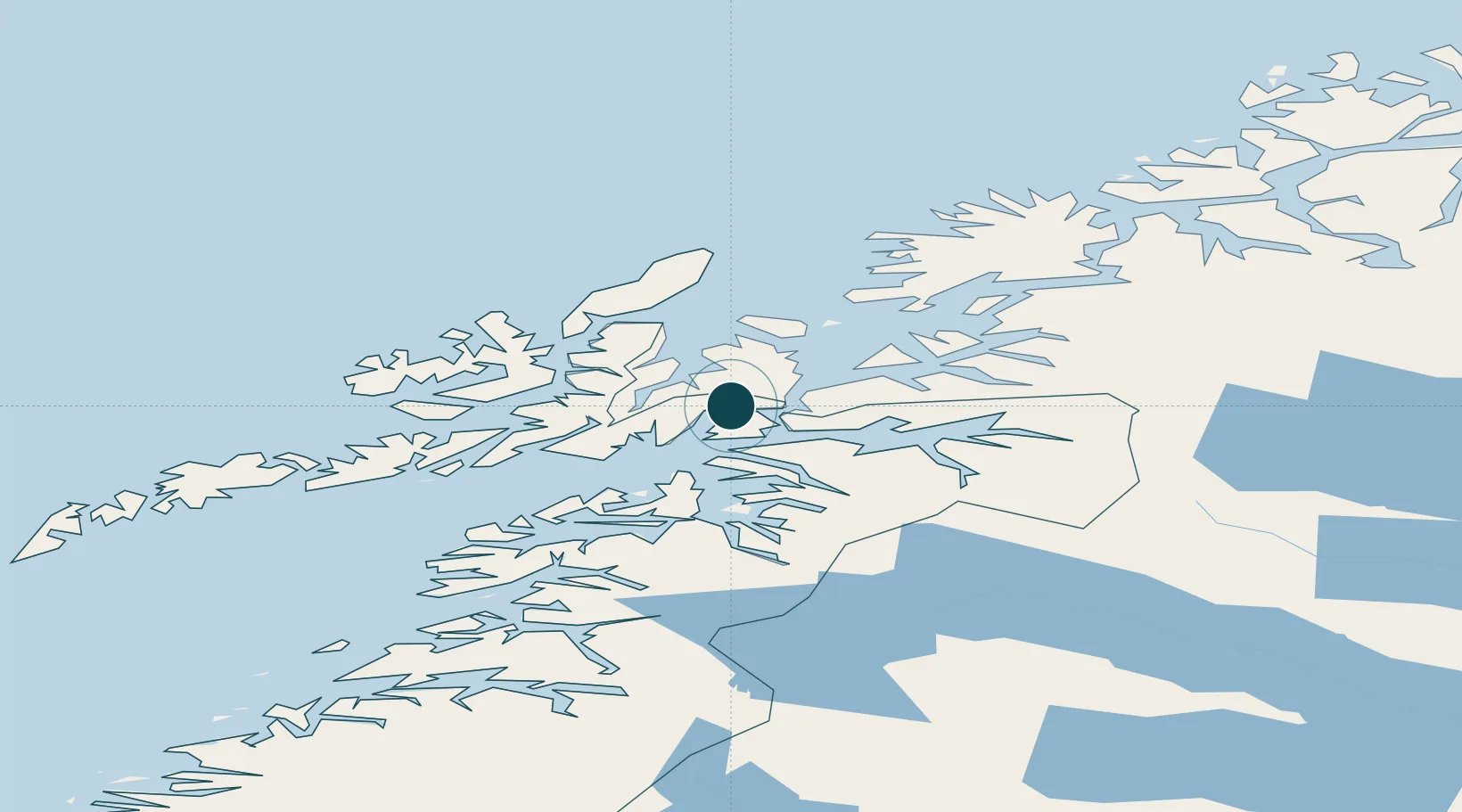
NGA World Port Index

Location

Location of NOUVK
Natural Earth 10m (public domain) · Nordland · NOUVK · 68.56, 16.23GoogleOSMYandex

Nearby Logistics Neighbours

Ports
  1. 1Lodingen19 km
  2. 2Lilandsgrunnen28 km
  3. 3Harstad30 km
  4. 4Litle Ballangen35 km
  5. 5Sortland36 km
Nearest neighbours — logibook spatial index (haversine) over the source coordinates
Cities
  1. 1Fjelldal11 km
  2. 2Ramsund14 km
  3. 3Lødingen19 km
  4. 4Borkenes23 km
  5. 5Kvæfjord23 km
Nearest neighbours — logibook spatial index (haversine) over the source coordinates
Airports
  1. 1Harstad/Narvik Airport20 km
  2. 2Stokmarknes Airport, Skagen49 km
  3. 3Svolvær Airport, Helle73 km
  4. 4Andøya Airport, Andenes82 km
  5. 5Bardufoss Airport108 km
Nearest neighbours — logibook spatial index (haversine) over the source coordinates
Trade Zones
  1. 1Oulu Port Free Warehouse Area564 km
  2. 2Turku Free Zone946 km
  3. 3Free Zone of Lappeenranta1004 km
  4. 4Freeport of Hanko1022 km
  5. 5Stockholm Free Zone1028 km
Nearest neighbours — logibook spatial index (haversine) over the source coordinates
DatabookThe Record of Consolidated Knowledge
Norway beyond logistics?
Browse databook

All Sources

Portsthe NGA World Port Index
Public domain (US gov)
AirportsOurAirports
Public domain
LocationsUN/LOCODE
UN/LOCODE — free
Trade Zonesthe World Bank SEZ database
CC BY 4.0
Trade ZonesOpen Zone Map
CC BY
← Norway ports