Transport Functions
Road
Multimodal
Hub Profile
Place type
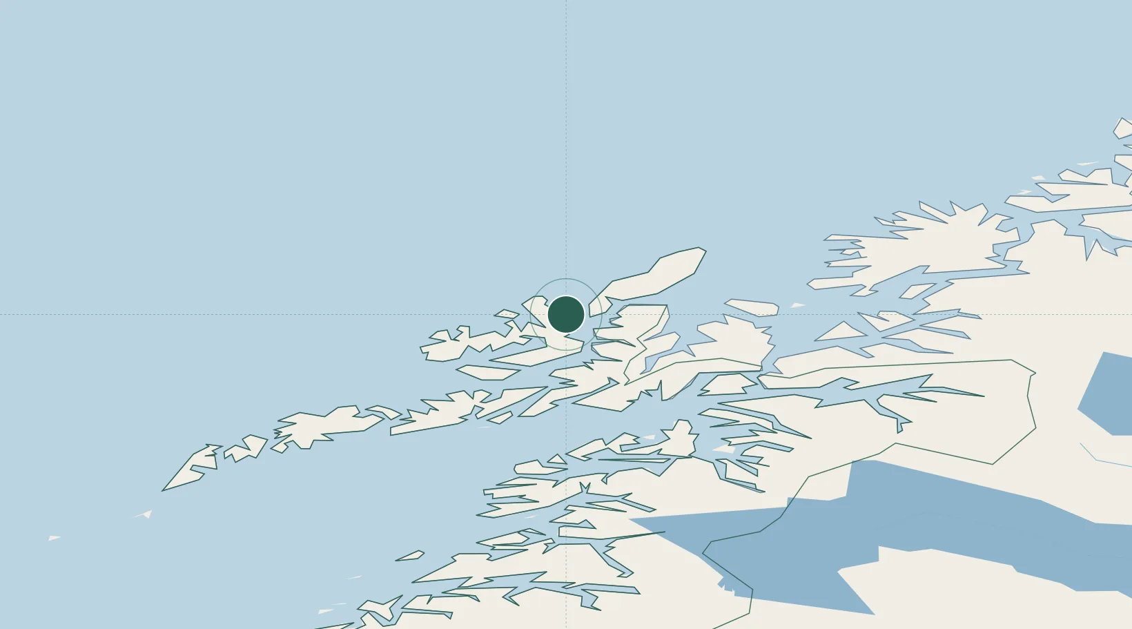
Populated place
Region
Nordland
Population
347
Time zone
Europe/Oslo
Location
Nearby Logistics Neighbours
Cities
- 1Stø14 km
- 2Risøyhamn16 km
- 3Sortland23 km
- 4Nordmela30 km
- 5Sigerfjord31 km
Ports
- 1Sortland23 km
- 2Stokkmarknes40 km
- 3Harstad52 km
- 4Ulvik54 km
- 5Andenes58 km
Airports
- 1Stokmarknes Airport, Skagen37 km
- 2Andøya Airport, Andenes56 km
- 3Harstad/Narvik Airport72 km
- 4Svolvær Airport, Helle77 km
- 5Leknes Airport108 km
Trade Zones
- 1Oulu Port Free Warehouse Area617 km
- 2Turku Free Zone995 km
- 3Stockholm Free Zone1071 km
- 4Freeport of Hanko1071 km
- 5Port of Hamina-Kotka1085 km
DatabookThe Record of Consolidated Knowledge
Norway beyond logistics?