Transport Functions
Port
Hub Profile
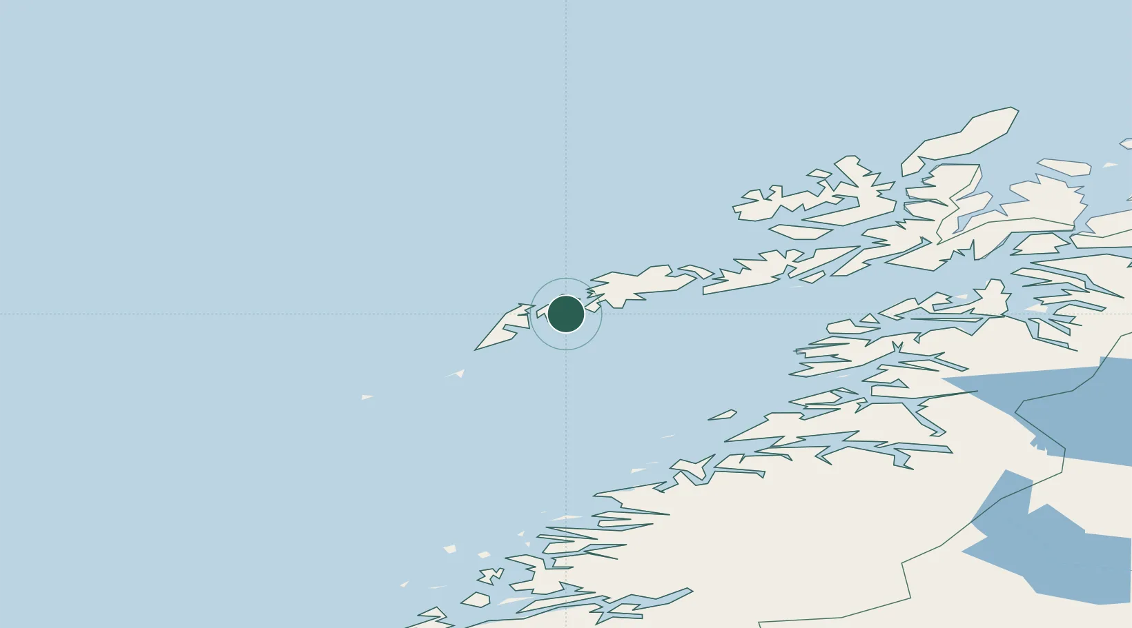
Place type
Populated place
Region
Nordland
Time zone
Europe/Oslo
Elevation
3 m
Location
Nearby Logistics Neighbours
Ports
- 1Reine15 km
- 2Ballstad15 km
- 3Stamsund23 km
- 4Henningsvaer38 km
- 5Svolvaer56 km
Airports
- 1Leknes Airport17 km
- 2Værøy Heliport50 km
- 3Svolvær Airport, Helle59 km
- 4Røst Airport77 km
- 5Stokmarknes Airport, Skagen92 km
Trade Zones
- 1Oulu Port Free Warehouse Area631 km
- 2Turku Free Zone944 km
- 3Stockholm Free Zone993 km
- 4Freeport of Hanko1022 km
- 5Port of Hamina-Kotka1062 km
DatabookThe Record of Consolidated Knowledge
Norway beyond logistics?