Free Trade Zone · Estonia
Paldiski Free Zone Active
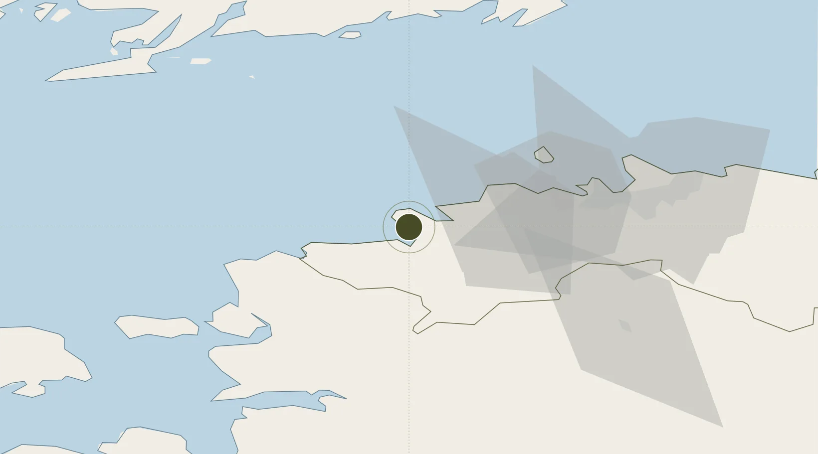
59.3343°, 24.0765°
22 ha
Zone area
0.3 km
Nearest port
11.0 km
Nearest airport
Gateway access
Zone profile
Zone type
Free Trade Zone
Region
Harju
Status
Active
Management
Private
Operator
Paldiski Sadamate AS
Legal framework
Alcohol, Tobacco, Fuel and Electricity Excise Duty Act (effective April 1, 2003), Customs Act (2017), Competition Act 2001, Value Added Tax Act 2004, Commercial Code 1995
Location
Nearby Logistics Neighbours
Ports
- 1Paldiski Lounasadam0 km
- 2Paldiski Pohjasadam2 km
- 3Vene-Balti36 km
- 4Bekkeri36 km
- 5Meeruse36 km
Airports
- 1Ämari Air Base11 km
- 2Tallinn Linnahall Heliport40 km
- 3Lennart Meri Tallinn Airport44 km
- 4Kärdla Airport81 km
- 5Pärnu Airport104 km
Cities
- 1Paldiski Lõunasadam0 km
- 2Paldiski2 km
- 3Paldiski Põhjasadam2 km
- 4Kurkse8 km
- 5Lohusalu11 km
Trade Zones
- 1Muuga Free Zone53 km
- 2Freeport of Hanko87 km
- 3Turku Free Zone161 km
- 4Port of Hamina-Kotka203 km
- 5Port of Sillamäe207 km
DatabookThe Record of Consolidated Knowledge
Estonia beyond logistics?