Transport Functions
Port
Hub Profile
Place type
Provincial seat
Region
Nordland
Time zone
Europe/Oslo
Elevation
120 m
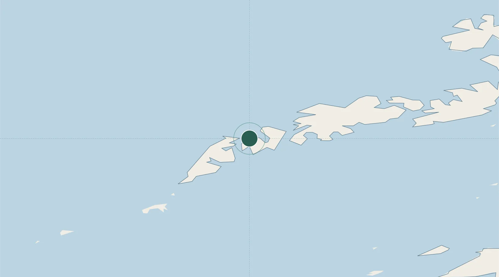
Location
Nearby Logistics Neighbours
Ports
- 1Reine17 km
- 2Ballstad20 km
- 3Stamsund27 km
- 4Henningsvaer42 km
- 5Svolvaer59 km
Airports
- 1Leknes Airport18 km
- 2Værøy Heliport52 km
- 3Svolvær Airport, Helle63 km
- 4Røst Airport78 km
- 5Stokmarknes Airport, Skagen93 km
Trade Zones
- 1Oulu Port Free Warehouse Area638 km
- 2Turku Free Zone952 km
- 3Stockholm Free Zone1000 km
- 4Freeport of Hanko1029 km
- 5Port of Hamina-Kotka1070 km
DatabookThe Record of Consolidated Knowledge
Norway beyond logistics?