UN/LOCODE hub · Norway
NOAAA

Å i Lofoten

67.8833°, 12.9833°
1
Transport functions

Transport Functions

Port
UN/LOCODE

Hub Profile

Region
18
GeoNames

Location

Location of NOAAA
Natural Earth 10m (public domain) · 18 · NOAAA · 67.88, 12.98GoogleOSMYandex

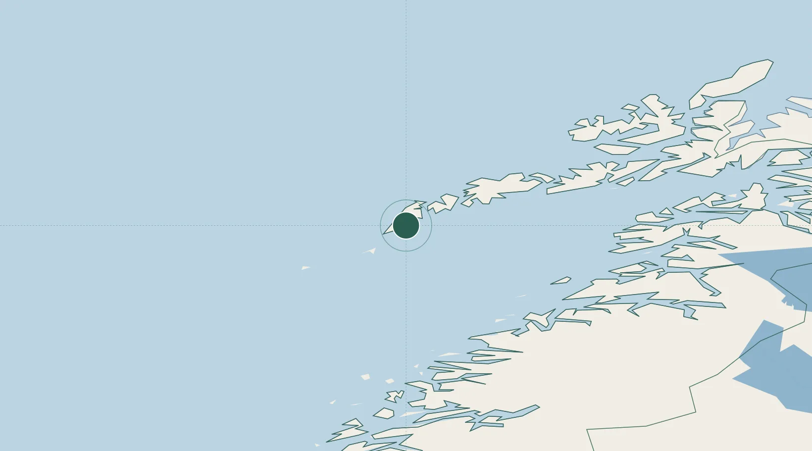
Nearby Logistics Neighbours

Cities
  1. 1Moskenes2 km
  2. 2Nusfjord23 km
  3. 3Ramberg24 km
  4. 4Værøy29 km
  5. 5Ballstad31 km
Nearest neighbours — logibook spatial index (haversine) over the source coordinates
Ports
  1. 1Reine8 km
  2. 2Ballstad36 km
  3. 3Stamsund45 km
  4. 4Henningsvaer59 km
  5. 5Skrova Havn77 km
Nearest neighbours — logibook spatial index (haversine) over the source coordinates
Airports
  1. 1Værøy Heliport28 km
  2. 2Leknes Airport40 km
  3. 3Røst Airport54 km
  4. 4Svolvær Airport, Helle81 km
  5. 5Bodø Airport90 km
Nearest neighbours — logibook spatial index (haversine) over the source coordinates
Trade Zones
  1. 1Oulu Port Free Warehouse Area637 km
  2. 2Turku Free Zone938 km
  3. 3Stockholm Free Zone982 km
  4. 4Freeport of Hanko1016 km
  5. 5Paldiski Free Zone1094 km
Nearest neighbours — logibook spatial index (haversine) over the source coordinates
DatabookThe Record of Consolidated Knowledge
Norway beyond logistics?
Browse databook

All Sources

LocationsUN/LOCODE
UN/LOCODE — free
Portsthe NGA World Port Index
Public domain (US gov)
AirportsOurAirports
Public domain
Trade Zonesthe World Bank SEZ database
CC BY 4.0
Trade ZonesOpen Zone Map
CC BY
← Norway locations