Transport Functions
Port
Hub Profile
Place type
Populated place
Region
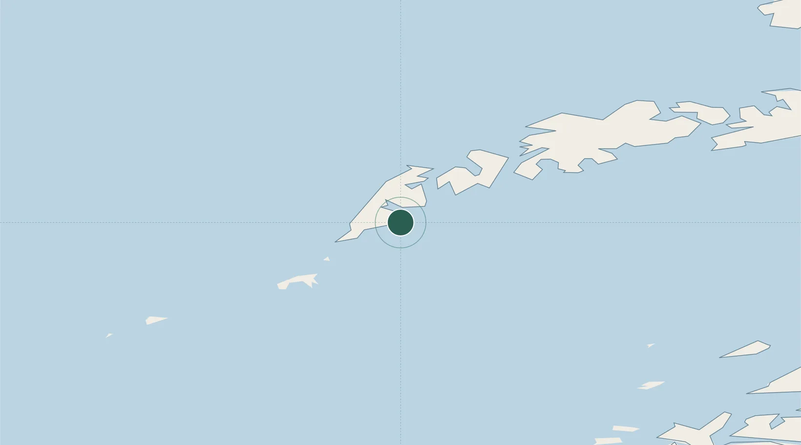
Nordland
Time zone
Europe/Oslo
Location
Nearby Logistics Neighbours
Cities
- 1Å i Lofoten2 km
- 2Nusfjord21 km
- 3Ramberg24 km
- 4Værøy30 km
- 5Ballstad30 km
Ports
- 1Reine7 km
- 2Ballstad35 km
- 3Stamsund43 km
- 4Henningsvaer58 km
- 5Skrova Havn75 km
Airports
- 1Værøy Heliport29 km
- 2Leknes Airport38 km
- 3Røst Airport56 km
- 4Svolvær Airport, Helle79 km
- 5Bodø Airport89 km
Trade Zones
- 1Oulu Port Free Warehouse Area635 km
- 2Turku Free Zone937 km
- 3Stockholm Free Zone981 km
- 4Freeport of Hanko1015 km
- 5Paldiski Free Zone1093 km
DatabookThe Record of Consolidated Knowledge
Norway beyond logistics?