Channel & Berth Profile
Pilotage, Tugs & Services
Pilotage availableYES
Pilotage advisableYES
Tug assistanceYES
Salvage tugsNO
Potable waterYES
MedicalYES
Garbage disposalYES
Facilities & Capabilities
ContainerNO
Ro-RoNO
Liquid bulkYES
Dry bulkYES
Oil terminal—
Break bulkYES
Dry dock—
RepairsNO
BunkeringYES
Rail linkYES
Dangerous cargo—
ISPS security—
Harbour Specifications
Harbour size
Small
Harbour type
Coastal (Natural)
Shelter
Good
Water body
Norwegian Sea; North Atlantic Ocean
Tidal range
2 m
Overhead limit
Yes
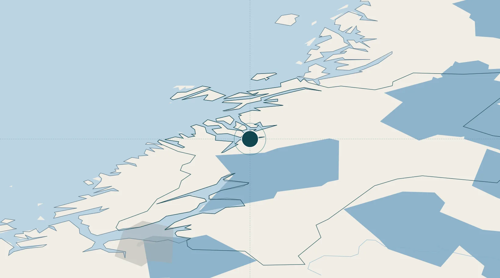
Location
Nearby Logistics Neighbours
Ports
- 1Salsbruket41 km
- 2Malm46 km
- 3Rorvik47 km
- 4Steinkjer50 km
- 5Levanger79 km
Cities
- 1Utvorda31 km
- 2Abelvær34 km
- 3Salsbruket42 km
- 4Ottersøya45 km
- 5Rørvik46 km
Airports
- 1Namsos Airport4 km
- 2Rørvik Airport, Ryum46 km
- 3Trondheim Airport, Værnes115 km
- 4Brønnøysund Airport, Brønnøy116 km
- 5Ørland Airport125 km
Trade Zones
- 1Stockholm Free Zone664 km
- 2Turku Free Zone707 km
- 3Gothenburg Boundless Customs Warehouse751 km
- 4Jönköping Free Zone757 km
- 5Freeport of Hanko782 km
DatabookThe Record of Consolidated Knowledge
Norway beyond logistics?