UN/LOCODE hub · Norway
NOOTA

Ottersøya

64.8500°, 11.2833°
1
Transport functions

Transport Functions

Port
UN/LOCODE

Hub Profile

Region
18
GeoNames

Location

Location of NOOTA
Natural Earth 10m (public domain) · 18 · NOOTA · 64.85, 11.28GoogleOSMYandex

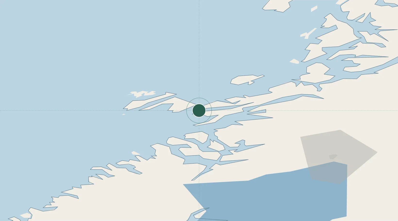
Nearby Logistics Neighbours

Cities
  1. 1Ottersøy2 km
  2. 2Rørvik2 km
  3. 3Abelvær14 km
  4. 4Salsbruket28 km
  5. 5Utvorda32 km
Nearest neighbours — logibook spatial index (haversine) over the source coordinates
Ports
  1. 1Rorvik2 km
  2. 2Salsbruket28 km
  3. 3Namsos45 km
  4. 4Berg72 km
  5. 5Bronnoysund81 km
Nearest neighbours — logibook spatial index (haversine) over the source coordinates
Airports
  1. 1Rørvik Airport, Ryum7 km
  2. 2Namsos Airport44 km
  3. 3Brønnøysund Airport, Brønnøy81 km
  4. 4Sandnessjøen Airport, Stokka135 km
  5. 5Mosjøen Airport, Kjærstad137 km
Nearest neighbours — logibook spatial index (haversine) over the source coordinates
Trade Zones
  1. 1Stockholm Free Zone707 km
  2. 2Turku Free Zone741 km
  3. 3Gothenburg Boundless Customs Warehouse795 km
  4. 4Jönköping Free Zone802 km
  5. 5Freeport of Hanko816 km
Nearest neighbours — logibook spatial index (haversine) over the source coordinates
DatabookThe Record of Consolidated Knowledge
Norway beyond logistics?
Browse databook

All Sources

LocationsUN/LOCODE
UN/LOCODE — free
Portsthe NGA World Port Index
Public domain (US gov)
AirportsOurAirports
Public domain
Trade Zonesthe World Bank SEZ database
CC BY 4.0
Trade ZonesOpen Zone Map
CC BY
← Norway locations