Channel & Berth Profile
Pilotage, Tugs & Services
Pilotage compulsoryYES
Pilotage availableYES
Tug assistanceYES
Potable waterYES
Diesel bunkersYES
MedicalYES
Facilities & Capabilities
Container—
Ro-Ro—
Liquid bulk—
Dry bulk—
Oil terminal—
Break bulk—
Dry dock—
Repairs—
BunkeringYES
Rail linkYES
Dangerous cargo—
ISPS security—
Harbour Specifications
Harbour size
Very Small
Harbour type
Coastal (Natural)
Shelter
Good
Water body
Norwegian Sea; North Atlantic Ocean
Overhead limit
Yes
Pilotage
Yes
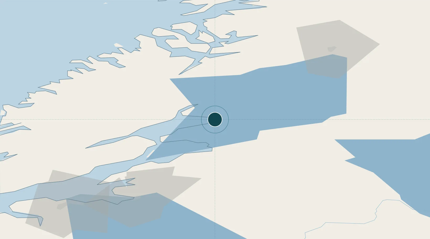
Location
Nearby Logistics Neighbours
Ports
- 1Malm14 km
- 2Levanger30 km
- 3Fiborgtangen36 km
- 4Namsos50 km
- 5Langstein59 km
Airports
- 1Namsos Airport52 km
- 2Trondheim Airport, Værnes67 km
- 3Rørvik Airport, Ryum94 km
- 4Ørland Airport98 km
- 5Røros Airport159 km
Trade Zones
- 1Stockholm Free Zone625 km
- 2Turku Free Zone682 km
- 3Gothenburg Boundless Customs Warehouse701 km
- 4Jönköping Free Zone708 km
- 5Freeport of Hanko755 km
DatabookThe Record of Consolidated Knowledge
Norway beyond logistics?