Small airport · Norway
Namsos AirportENNM
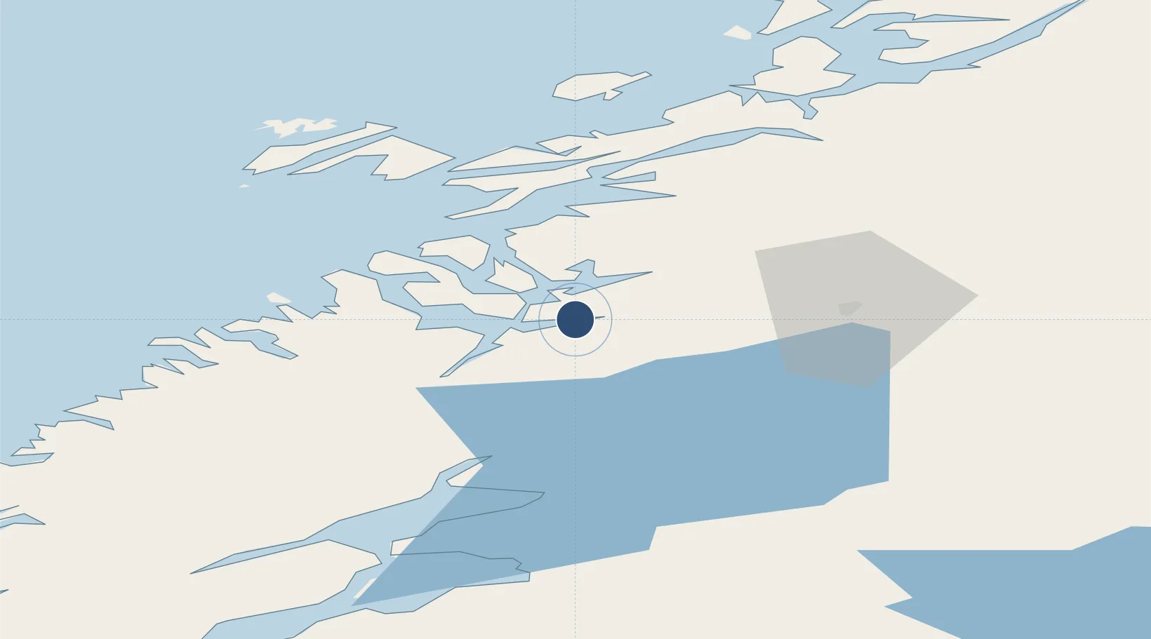
64.4722°, 11.5786°
2,749 ft
Longest runway
1
Runways
7 ft
Elevation
Runway & Layout

Navaids
NMS NDB Namsos 329 kHz
Runways · 1
| Runway | Dimensions | Surface | True heading | Lit |
|---|---|---|---|---|
| 07/25 | 2,749 × 98ft | Asphalt | 072° | — |
Airport Specifications
IATA code
OSY
ICAO code
ENNM
Airport class
Small airport
Scheduled service
Yes
Runway surface
Asphalt
Served city
Namsos
Location
Nearby Logistics Neighbours
Airports
- 1Rørvik Airport, Ryum46 km
- 2Brønnøysund Airport, Brønnøy114 km
- 3Trondheim Airport, Værnes117 km
- 4Ørland Airport129 km
- 5Mosjøen Airport, Kjærstad165 km
Cities
- 1Namsos5 km
- 2Utvorda33 km
- 3Abelvær35 km
- 4Salsbruket39 km
- 5Ottersøya44 km
Ports
- 1Namsos4 km
- 2Salsbruket39 km
- 3Rorvik46 km
- 4Malm48 km
- 5Steinkjer52 km
Trade Zones
- 1Stockholm Free Zone664 km
- 2Turku Free Zone705 km
- 3Gothenburg Boundless Customs Warehouse753 km
- 4Jönköping Free Zone758 km
- 5Freeport of Hanko780 km
DatabookThe Record of Consolidated Knowledge
Norway beyond logistics?