Transport Functions
Port
Hub Profile
Region
17
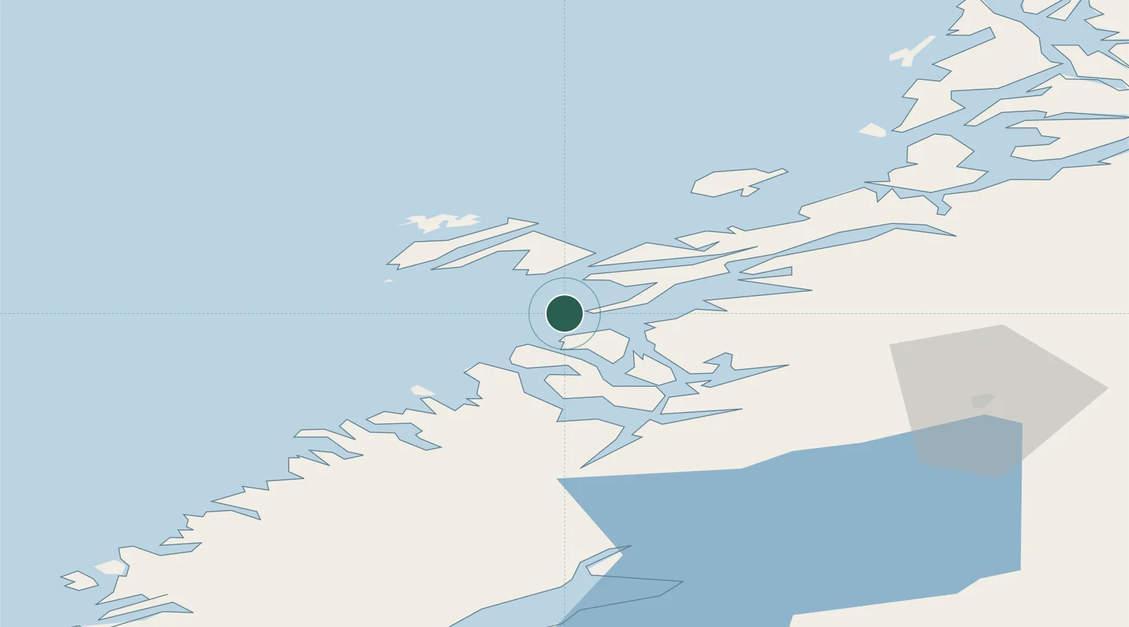
Location
Nearby Logistics Neighbours
Cities
- 1Rørvik13 km
- 2Ottersøya14 km
- 3Ottersøy16 km
- 4Utvorda19 km
- 5Salsbruket33 km
Ports
- 1Rorvik15 km
- 2Salsbruket33 km
- 3Namsos34 km
- 4Malm74 km
- 5Steinkjer82 km
Airports
- 1Rørvik Airport, Ryum12 km
- 2Namsos Airport35 km
- 3Brønnøysund Airport, Brønnøy94 km
- 4Ørland Airport138 km
- 5Trondheim Airport, Værnes142 km
Trade Zones
- 1Stockholm Free Zone698 km
- 2Turku Free Zone737 km
- 3Gothenburg Boundless Customs Warehouse782 km
- 4Jönköping Free Zone790 km
- 5Freeport of Hanko812 km
DatabookThe Record of Consolidated Knowledge
Norway beyond logistics?