Transport Functions
Port
Hub Profile
Place type
Populated place
Region
Trøndelag
Time zone
Europe/Oslo
Elevation
66 m
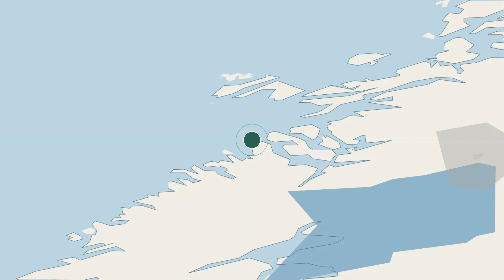
Location
Nearby Logistics Neighbours
Ports
- 1Namsos31 km
- 2Rorvik33 km
- 3Salsbruket49 km
- 4Malm61 km
- 5Steinkjer70 km
Airports
- 1Rørvik Airport, Ryum28 km
- 2Namsos Airport33 km
- 3Brønnøysund Airport, Brønnøy113 km
- 4Ørland Airport120 km
- 5Trondheim Airport, Værnes127 km
Trade Zones
- 1Stockholm Free Zone693 km
- 2Turku Free Zone738 km
- 3Gothenburg Boundless Customs Warehouse768 km
- 4Jönköping Free Zone778 km
- 5Freeport of Hanko813 km
DatabookThe Record of Consolidated Knowledge
Norway beyond logistics?