Channel & Berth Profile
Pilotage, Tugs & Services
Pilotage availableYES
Tug assistanceYES
Potable waterYES
Diesel bunkersYES
MedicalYES
Facilities & Capabilities
ContainerYES
Ro-RoYES
Liquid bulkYES
Dry bulkYES
Oil terminal—
Break bulkYES
Dry dock—
RepairsNO
BunkeringYES
Rail link—
Dangerous cargo—
ISPS security—
Harbour Specifications
Harbour size
Very Small
Harbour type
Coastal (Natural)
Shelter
Good
Water body
Norwegian Sea; North Atlantic Ocean
Tidal range
5 m
Overhead limit
No
Liner Connectivity
8.7
PLSCI
Port Liner Shipping Connectivity Index for Rorvik, as published by UNCTAD for the latest available quarter. Higher values indicate stronger scheduled liner-shipping integration.
Shown relative to the highest per-port PLSCI in the dataset (1,657.9).
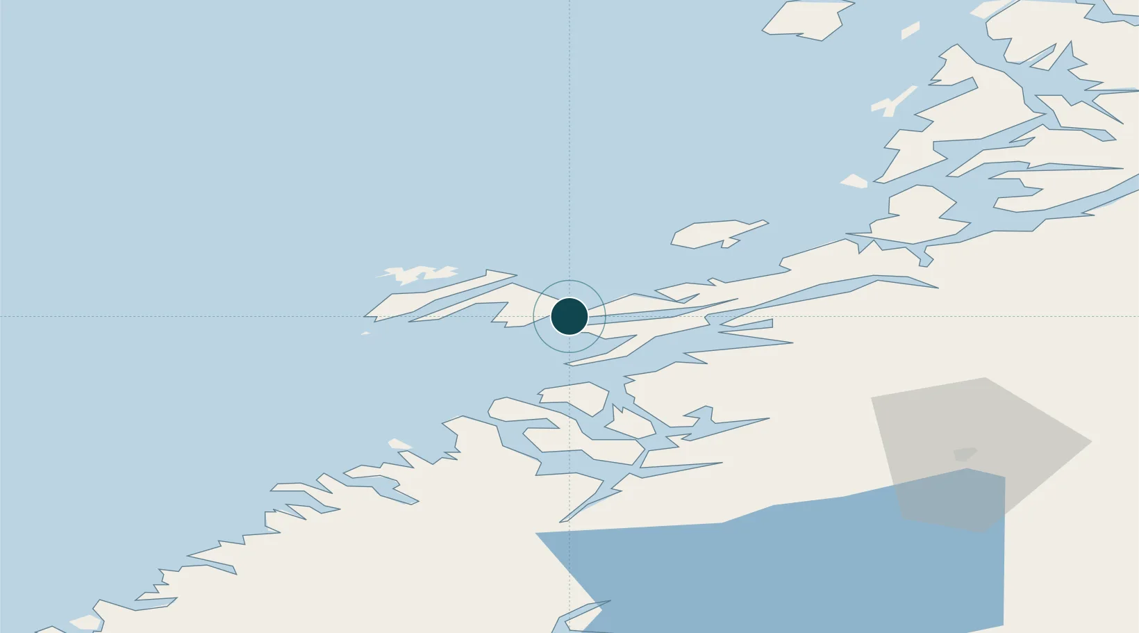
Location
Nearby Logistics Neighbours
Ports
- 1Salsbruket30 km
- 2Namsos47 km
- 3Berg71 km
- 4Bronnoysund80 km
- 5Malm89 km
Cities
- 1Ottersøy2 km
- 2Ottersøya2 km
- 3Abelvær15 km
- 4Salsbruket30 km
- 5Utvorda33 km
Airports
- 1Rørvik Airport, Ryum6 km
- 2Namsos Airport46 km
- 3Brønnøysund Airport, Brønnøy80 km
- 4Sandnessjøen Airport, Stokka134 km
- 5Mosjøen Airport, Kjærstad137 km
Trade Zones
- 1Stockholm Free Zone709 km
- 2Turku Free Zone743 km
- 3Gothenburg Boundless Customs Warehouse797 km
- 4Jönköping Free Zone804 km
- 5Freeport of Hanko819 km
DatabookThe Record of Consolidated Knowledge
Norway beyond logistics?