Medium airport · Norway
Brønnøysund Airport, BrønnøyENBN
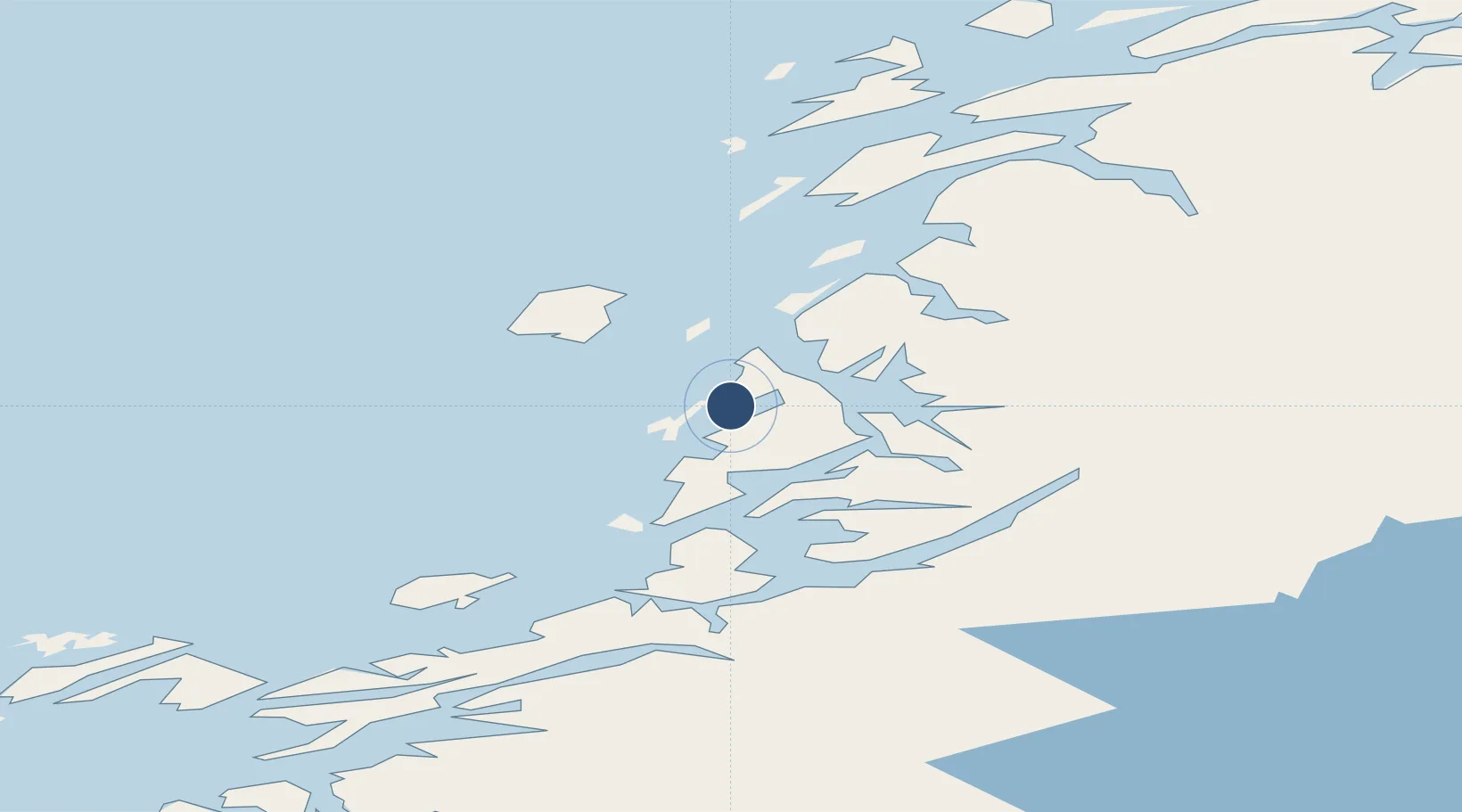
65.4611°, 12.2175°
3,937 ft
Longest runway
1
Runways
25 ft
Elevation
Runway & Layout

Radio Frequencies
AFIS
119.6 MHz
INFO
Navaids
BNN VOR-DME Bronnoy 115.30 MHz
ULV NDB Ulvingen 360 kHz
Runways · 1
| Runway | Dimensions | Surface | True heading | Lit |
|---|---|---|---|---|
| 03/21 | 3,937 × 98ft | Asphalt | 035° | ✓ |
Airport Specifications
IATA code
BNN
ICAO code
ENBN
Airport class
Medium airport
Scheduled service
Yes
Runway surface
Asphalt
Served city
Brønnøy
Location
Nearby Logistics Neighbours
Airports
- 1Sandnessjøen Airport, Stokka56 km
- 2Mosjøen Airport, Kjærstad58 km
- 3Rørvik Airport, Ryum86 km
- 4Namsos Airport114 km
- 5Hemavan Airport137 km
Cities
- 1Brønnøysund1 km
- 2Lessremman16 km
- 3Vega23 km
- 4Igerøy25 km
- 5Tjøtta41 km
Ports
- 1Bronnoysund1 km
- 2Berg11 km
- 3Tjotta41 km
- 4Mosjoen62 km
- 5Sandnessjoen66 km
Trade Zones
- 1Stockholm Free Zone744 km
- 2Turku Free Zone751 km
- 3Freeport of Hanko828 km
- 4Jönköping Free Zone861 km
- 5Gothenburg Boundless Customs Warehouse863 km
DatabookThe Record of Consolidated Knowledge
Norway beyond logistics?