UN/LOCODE hub · Norway
NOSBU

Salsbruket

64.8000°, 11.8667°
1
Transport functions

Transport Functions

Port
Salsbruket is also a profiled seaport →
UN/LOCODE

Hub Profile

Place type
Locality
GeoNames
Region
Trøndelag
GeoNames
Time zone
Europe/Oslo
GeoNames
Elevation
73 m
GeoNames

Location

Location of NOSBU
Natural Earth 10m (public domain) · Trøndelag · NOSBU · 64.80, 11.87GoogleOSMYandex

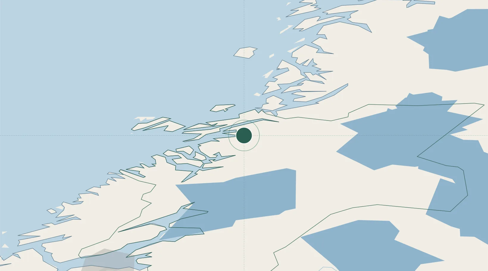
Nearby Logistics Neighbours

Cities
  1. 1Ottersøya28 km
  2. 2Ottersøy29 km
  3. 3Rørvik31 km
  4. 4Gutvik32 km
  5. 5Abelvær33 km
Nearest neighbours — logibook spatial index (haversine) over the source coordinates
Ports
  1. 1Rorvik30 km
  2. 2Namsos42 km
  3. 3Berg65 km
  4. 4Bronnoysund76 km
  5. 5Malm87 km
Nearest neighbours — logibook spatial index (haversine) over the source coordinates
Airports
  1. 1Rørvik Airport, Ryum34 km
  2. 2Namsos Airport39 km
  3. 3Brønnøysund Airport, Brønnøy75 km
  4. 4Mosjøen Airport, Kjærstad126 km
  5. 5Sandnessjøen Airport, Stokka132 km
Nearest neighbours — logibook spatial index (haversine) over the source coordinates
Trade Zones
  1. 1Stockholm Free Zone687 km
  2. 2Turku Free Zone716 km
  3. 3Gothenburg Boundless Customs Warehouse789 km
  4. 4Jönköping Free Zone791 km
  5. 5Freeport of Hanko791 km
Nearest neighbours — logibook spatial index (haversine) over the source coordinates
DatabookThe Record of Consolidated Knowledge
Norway beyond logistics?
Browse databook

All Sources

LocationsUN/LOCODE
UN/LOCODE — free
Portsthe NGA World Port Index
Public domain (US gov)
AirportsOurAirports
Public domain
Trade Zonesthe World Bank SEZ database
CC BY 4.0
Trade ZonesOpen Zone Map
CC BY
← Norway locations