Medium airport · Norway
Ørland AirportENOL
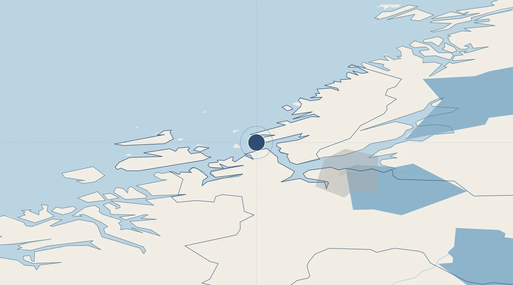
63.6989°, 9.6040°
10,755 ft
Longest runway
1
Runways
28 ft
Elevation
Runway & Layout

Radio Frequencies
TWR
118.7 MHz
APP
118.25 MHz
ARR
126.2 MHz
Navaids
ORL TACAN Orland 111.40 MHz
UTH NDB Uthaug 366 kHz
Runways · 1
| Runway | Dimensions | Surface | True heading | Lit |
|---|---|---|---|---|
| 15/33 | 10,755 × 148ft | Asphalt | 154° | ✓ |
Airport Specifications
IATA code
OLA
ICAO code
ENOL
Airport class
Medium airport
Scheduled service
Yes
Runway surface
Asphalt
Served city
Ørland
Location
Nearby Logistics Neighbours
Airports
- 1Trondheim Airport, Værnes71 km
- 2Kristiansund Airport, Kvernberget110 km
- 3Namsos Airport129 km
- 4Rørvik Airport, Ryum147 km
- 5Røros Airport152 km
Ports
- 1Trondheim48 km
- 2Langstein66 km
- 3Hommelvik67 km
- 4Muruvik68 km
- 5Fiborgtangen76 km
Trade Zones
DatabookThe Record of Consolidated Knowledge
Norway beyond logistics?